
Aerosmart UAV Trading L.L.C. is a tech company that specialises in drones and solutions in the UAE and across the GCC.
Aerosmart UAV Trading L.L.C. is a tech company that specialises in drones and solutions in the UAE and across the GCC.







Use the combined power of images and point clouds to extract key elements from photogrammetry, laser scanning or LiDAR data. Survey curbs, building footprints, walls, catenary curves and more.

Work 50% faster when you vectorize from point clouds and verify in images, while the Smart Grid saves 1,000s of clicks creating spot elevations.
Include layers and properties for a smooth transition to CAD or GIS and reduce file size when exporting your projects as vector files.

Create and measure the volume of any object, even against a wall or in a corner, with fast, simple steps.
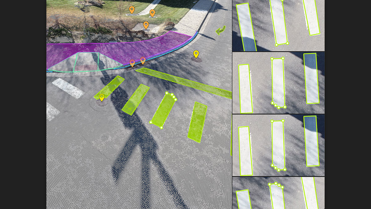
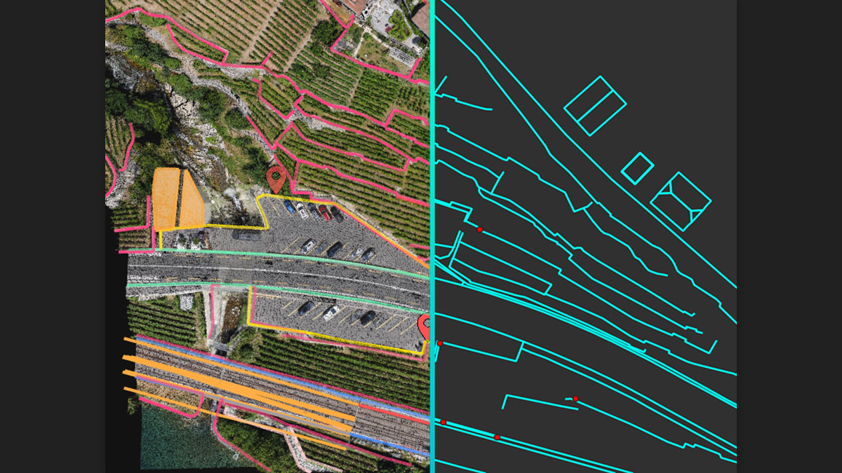
Vectorize your project using points, polylines, polygons and catenary curves with just a few clicks.
Measure the volume of any object or space with straightforward steps.
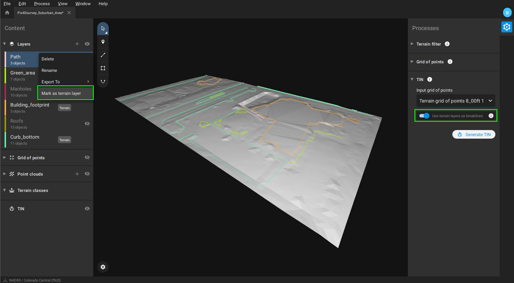
Model the ground with a TIN from points and breaklines to represent the topography of your project. Automate the creation of spot elevations and allow drastic simplification of the number of point cloud points.
Move beyond photogrammetry, yet still work with Pix4D’s rayCloud to access the original images and 3D point clouds simultaneously. Vectorize in 3D, edit in 2D. Survey complex objects only visible in images. Use color selection to pick a point and search in a defined radius for points of a similar color.
PIX4Dsurvey can handle billions of points. Work with as many point cloud files as you like in the same projects, including .las.
PIX4Dsurvey works with your existing workflows. Import .p4d files from PIX4Dmapper, PIX4Dcloud, or .p4m files from PIX4Dmatic with the click of a button, or work with .las and .laz files from any device/source.
Every surveyed object can be assigned to a layer and edited. Layers can be exported separately or together for a smooth transition to your preferred CAD or GIS software.

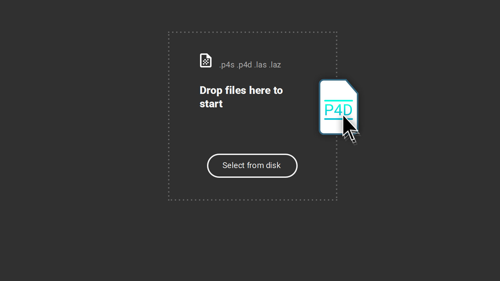
Generate a point cloud in PIX4Dcloud, PIX4Dmapper, or PIX4Dmatic from aerial imagery, then bring it into PIX4Dsurvey by dragging and dropping the .p4d or .p4m project file directly into the workspace.

Multiple simultaneous point cloud datasets formatted as .las or .laz files all load into the same PIX4Dsurvey project, regardless of which scanner or LiDAR system produced them.
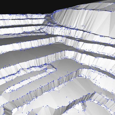
Spot elevation creation automates and point cloud data simplifies Smart Grid generates a lean, structured grid of elevations without inventing data points that weren’t in the original capture. It reads the terrain classification to identify where elevation changes actually occur and places elevations there, following the same logic a field crew applies when taking spot shots along breaklines. From that structured grid of points and breaklines, PIX4Dsurvey builds a DTM in LandXML format that reflects exactly the elevation inputs provided no interpolation beyond what was specified. That LandXML file opens directly in CAD or GIS and is ready to use.
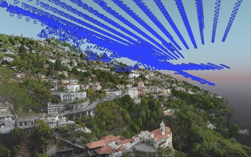
A survey team needed to update land and property boundary records at scale they built their workflow around drone mapping with PIX4Dmatic and PIX4Dsurvey to get it done.
Version 1.54.1 brings video flythrough support, an updated views system, a new object selection tool, and a more detailed quality report to both PIX4Dmatic and PIX4Dsurvey.
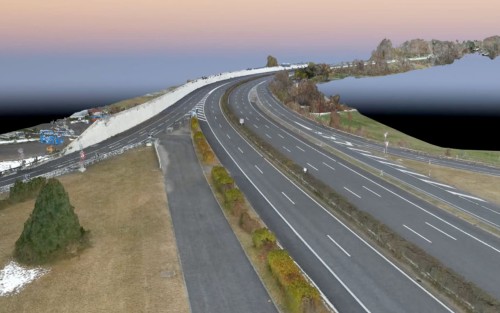
A Swiss motorway viaduct required inspection without traffic interruption the survey team used aerial drone mapping to capture the data and process it through PIX4Dsurvey entirely from above.
PIX4Dsurvey licensing is available in the UAE through Aerosmart, Dubai, with pricing depending on the license tier and term selected. Request a same-day quote in AED with regional invoicing.
It bridges the gap between a point cloud and what a client actually accepts — extracted terrain, breaklines, contours and vectorised features exported to CAD formats.
Yes volume calculation from drone-captured point clouds is one of its core uses for mining and construction clients in the region.
Matic processes the imagery; Survey turns the result into deliverables. Teams producing CAD outputs typically license both Aerosmart bundles them for UAE survey firms.
Yes Aerosmart provides activation help, workflow guidance and ongoing regional support for every PIX4Dsurvey license supplied in the UAE.
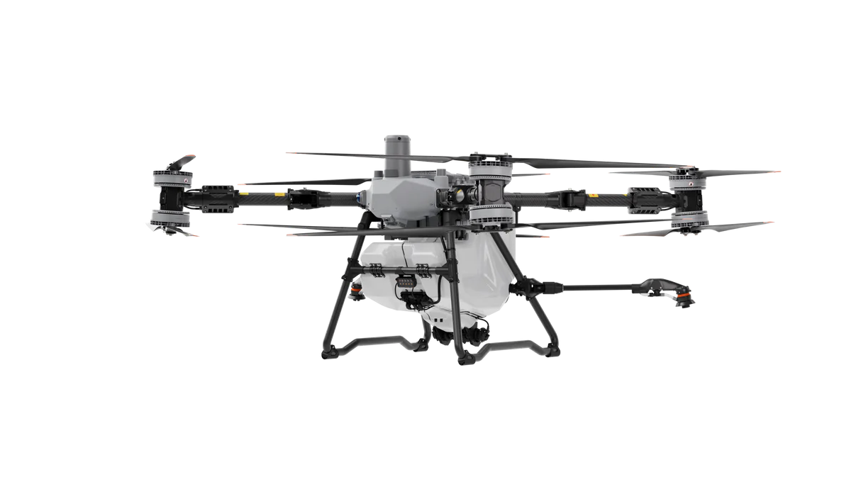

Your journey into the extraordinary begins here. Share your details for a personalized PIX4Dsurvey quote and let your imagination soar.
✅ Thank you for reaching out. Your message has been successfully sent, and our team will get in touch with you shortly.