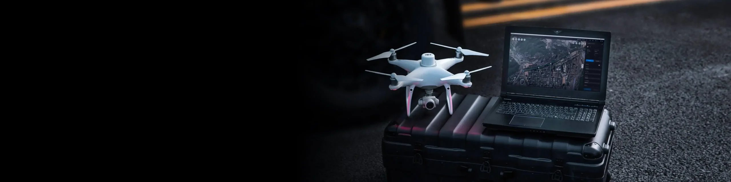
Increase the efficiency of your geographic information collection and streamline data processing using drone solutions
Gain accurate aerial data to create industry-standard deliverables like DSM, DOM, and 3D models with drone and software solutions

Aerosmart UAV Trading L.L.C. is a tech company that specialises in drones and solutions in the UAE and across the GCC.
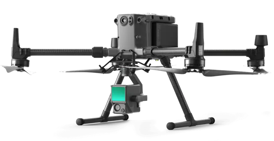
Consistent and accurate data on-demand that cuts down on reworks and ensures that your construction finishes on schedule and within budget. Use drones to survey large parcels of land with incredible accuracy quickly.

Increase the efficiency of your geographic information collection and streamline data processing using drone solutions

Save on equipment and labor costs by automating data collection and analysis with drone and software solutions

Gain accurate aerial data to create industry-standard deliverables like DSM, DOM, and 3D models with drone and software solutions
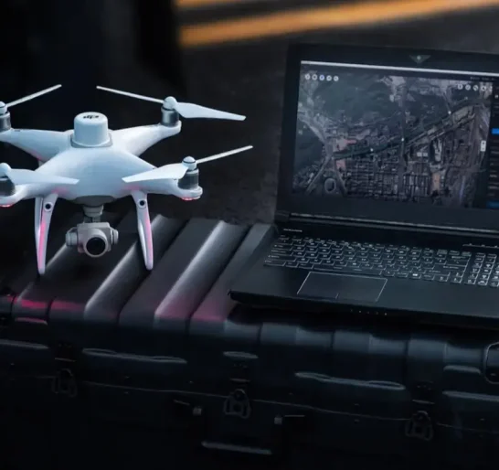
Drone solutions collect accurate, geo-tagged data quickly, while photogrammetry software processes these data to deliver standardized outputs.
Drone data creates accurate 2D and 3D models that integrate seamlessly with local geographic information systems, helping teams visualize results.
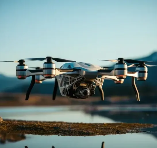
Drones enable large-scale, detailed surveys of natural resources, providing accurate maps and models as well as telemetry data.

Your journey into the extraordinary begins here. Share your details for a personalized Ariel Surveying drones quote and let your imagination soar.
✅ Thank you for reaching out. Your message has been successfully sent, and our team will get in touch with you shortly.