
Aerosmart UAV Trading L.L.C. is a tech company that specialises in drones and solutions in the UAE and across the GCC.
Aerosmart UAV Trading L.L.C. is a tech company that specialises in drones and solutions in the UAE and across the GCC.
Aerosmart is an authorised DJI dealer in Dubai, specializing in advanced drone technology across the GCC and Africa region. Our services range from top-tier hardware and software to expert integration, training, dedicated repairs, and insightful consultancy. We cater to diverse industries such as aviation, agriculture, construction, energy, logistics, media, and government, ensuring tailored, high-impact drone applications for each sector.
Aero Smart is the go-to drone expert in Dubai and across the UAE. We are a specialist company delivering purpose-built solutions for professionals who need results, not gimmicks. We support teams with consulting, maintenance, and operational tools that scale. Are you looking for certified dealers? You’ve found the right team. Let’s build smarter and faster operations together.

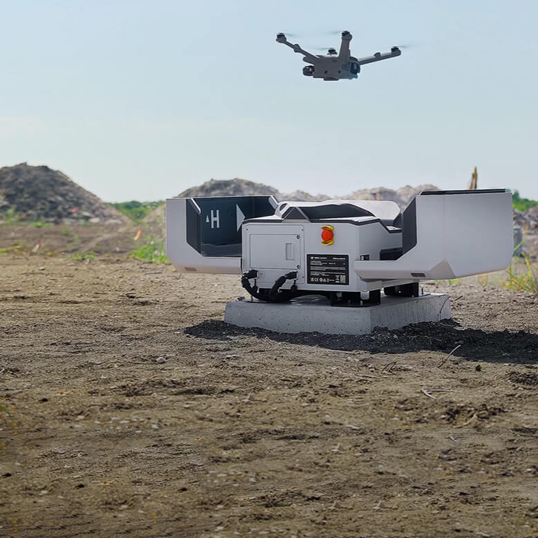


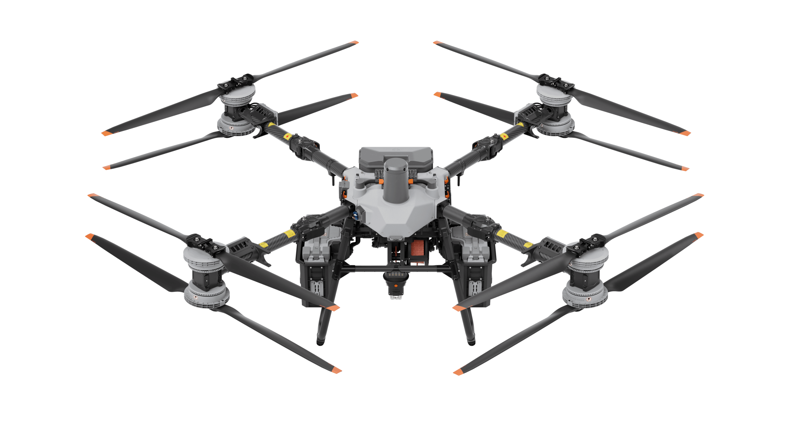
DJI FlyCart
View More →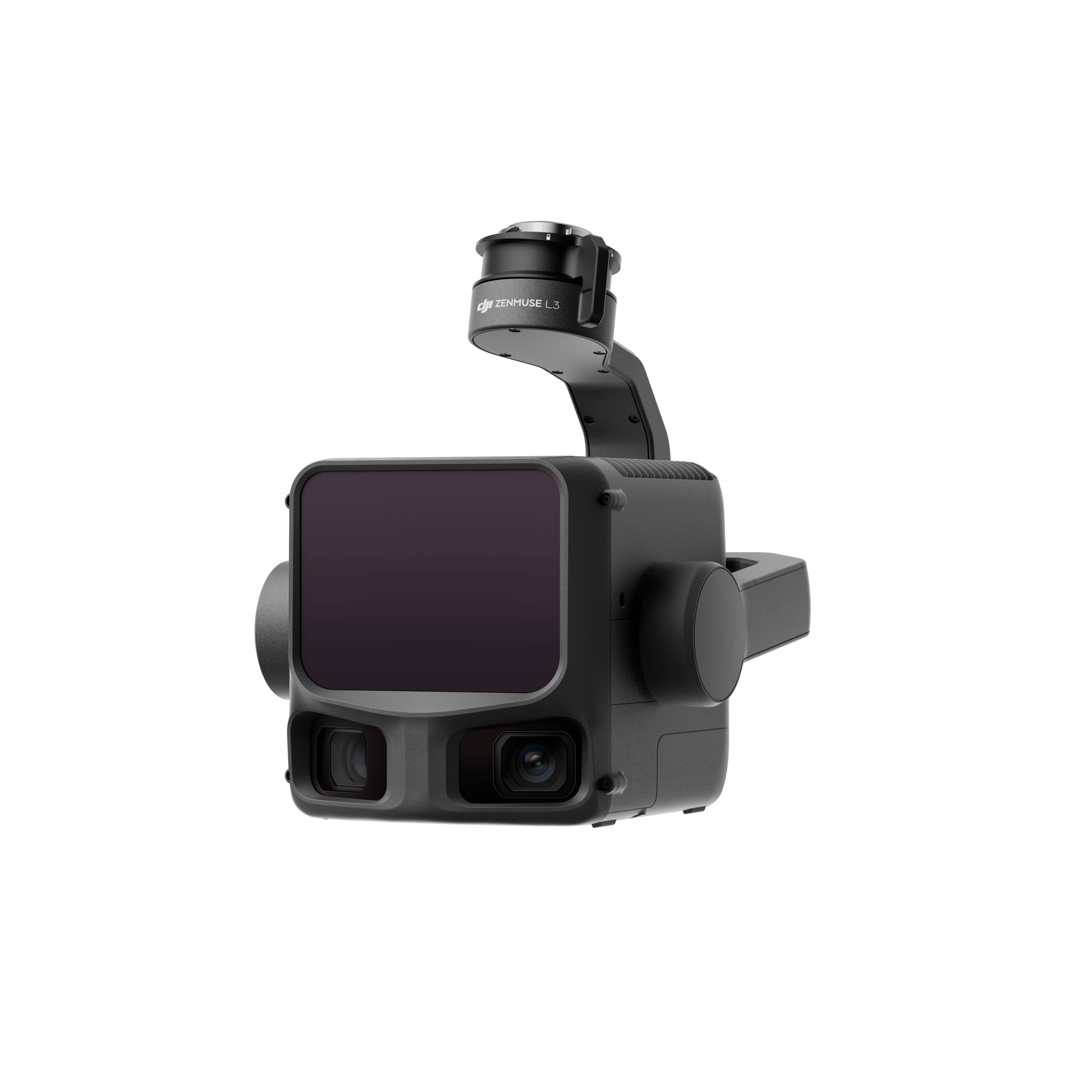
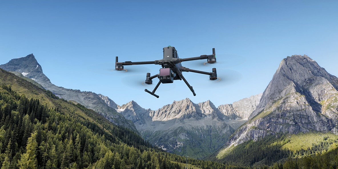
DJI Zenmuse L3
View More →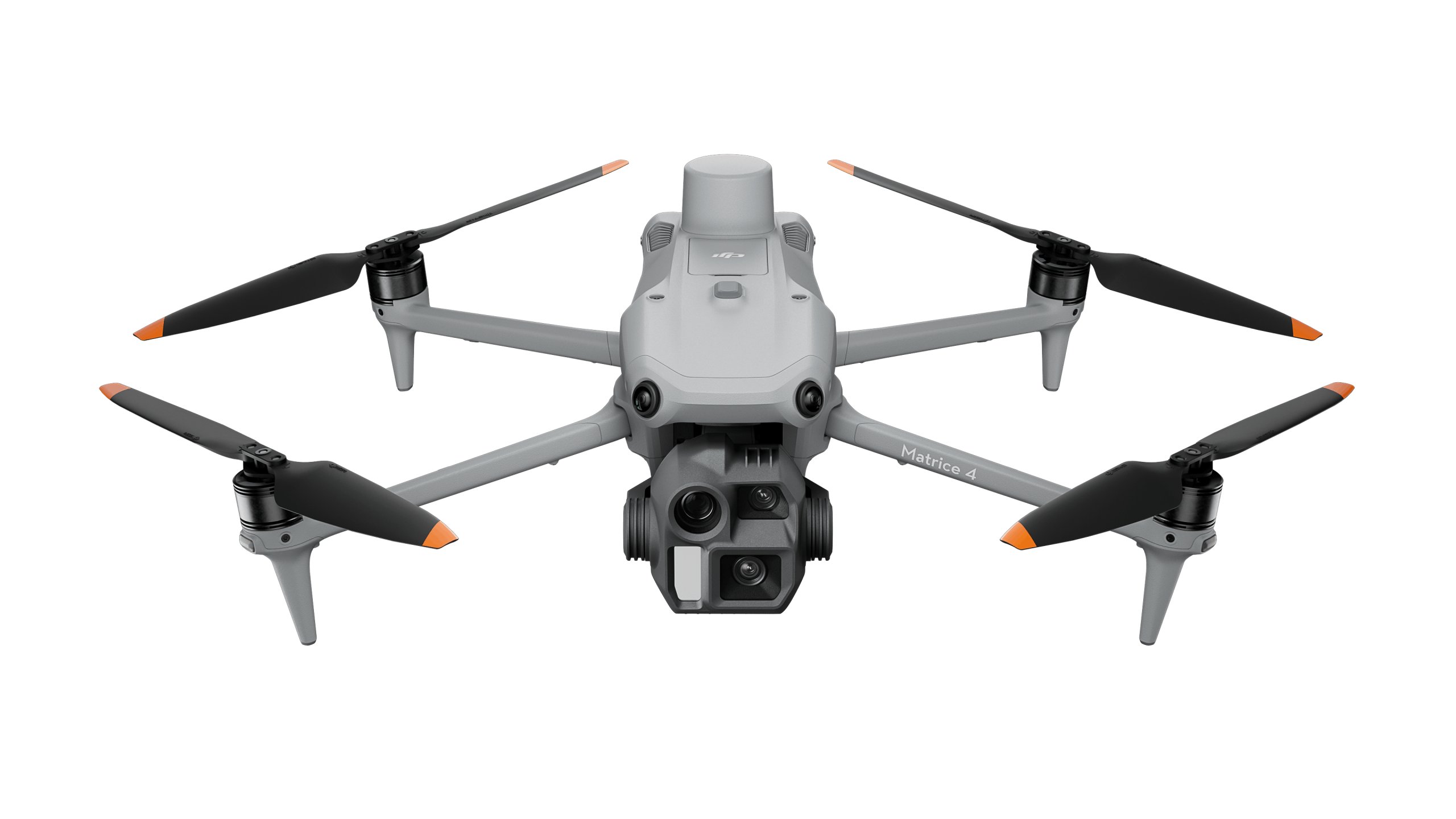
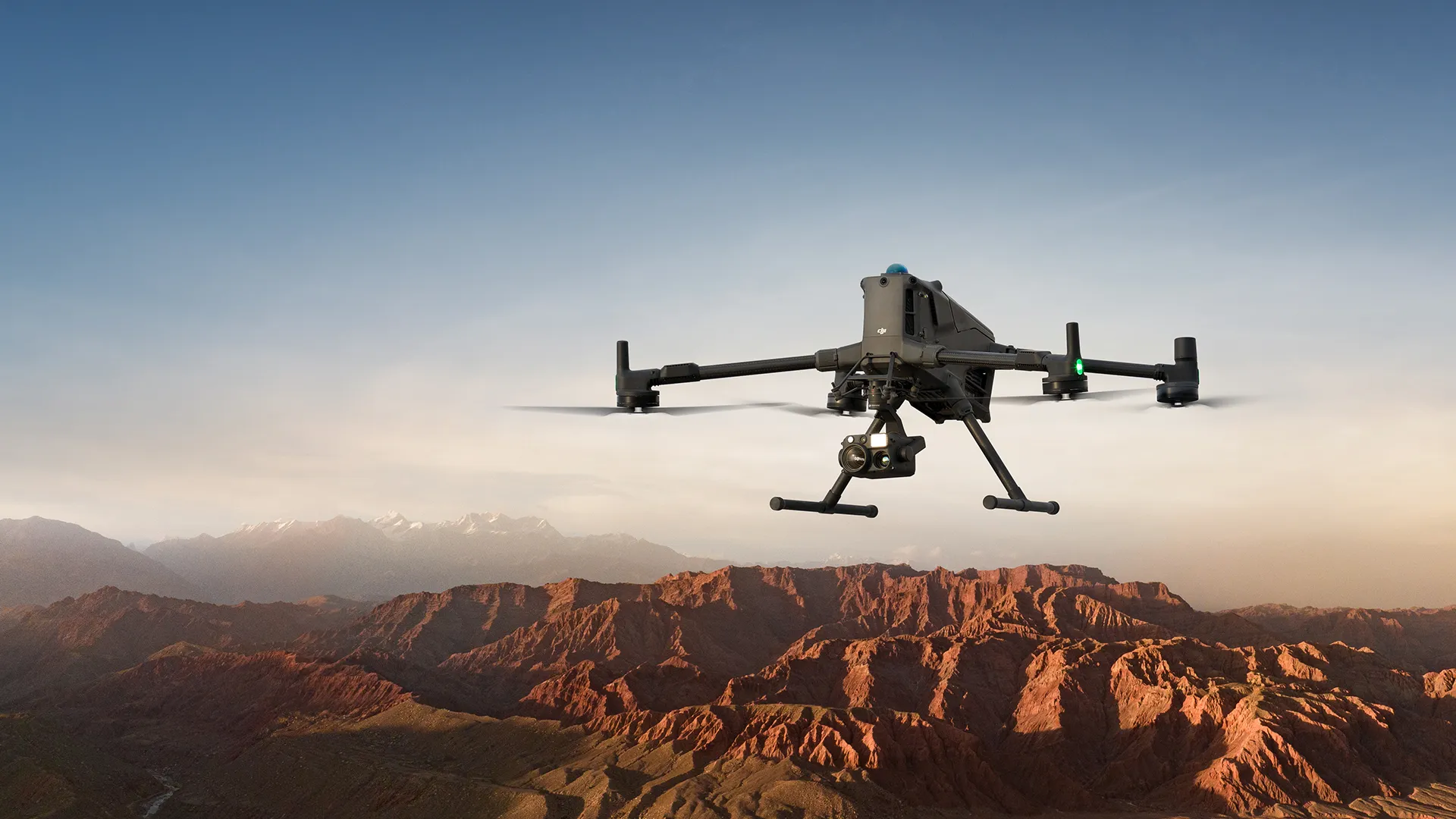
DJI Matrice 4 Series
View More →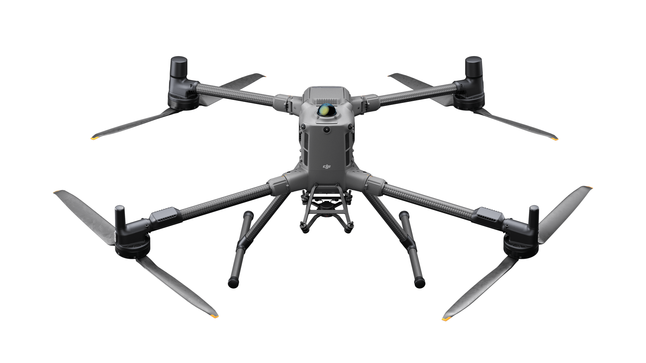
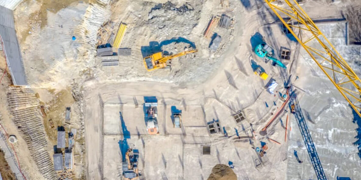
DJI Matrice 400
View More →✅ Thank you for reaching out. Your message has been successfully sent, and our team will get in touch with you shortly.