Aerosmart UAV Trading L.L.C. is a tech company that specialises in drones and solutions in the UAE and across the GCC.
Aerosmart UAV Trading L.L.C. is a tech company that specialises in drones and solutions in the UAE and across the GCC.

Surveyors involved in various project works are fascinated by image precision, and Pix4Dsurvey software helps with that. It is the certified precision that these software systems help achieve, and they are useful for survey, inspection, monitoring, and aerial imaging tasks. The surveyors depend on such software for its quality and can work in various working conditions. With the clubbed with other tools and instruments
Surveyors are using various tools to achieve precise image details from drone-captured images. It needs proper training and knowledge to ensure proper measurement. Such a software system, along with the latest drones in Dubai, ensures the efficient application of software techniques that deliver precise survey results.
Reports how surveyors can achieve positive reports by using the software suite and improve the productivity of the project. This is in trend, and software is in demand in Dubai.
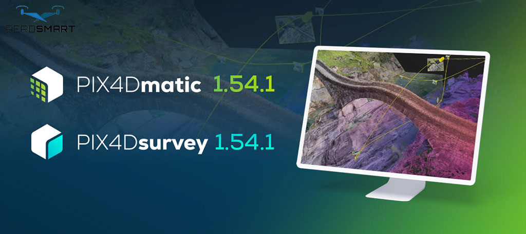
Images captured with drones or point clouds make it easy to conduct surveys or inspections for any project. This is possible with the best capture facility of the software mentioned above. It allows converting the image into digital point clouds and then importing them into Pix4Dsurvey. Use the point clouds to create a surface model.
This is why it is worth investing in Pix4Dsurvey software, as it integrates easily with an existing system. The software bridges the gap between the drone’s point clouds and the CAD deliverables. It is not only about capturing the best image, but also about converting it from a point cloud to CAD-ready. Turn raw data into accurate plans, that is how the software helps scale up project work when every second counts and a little mistake can incur an expensive loss for an industry project.
Drone flights can produce point clouds that contain important structural data. But it needs to be converted into insightful ones that are easy to use in survey work and can be implemented in the workflow. This is when Pix4Dsurvey allows surveyors to use special features in the software to derive point clouds and convert them into a relevant data format that is easy to read and use. This is how the data is suitable for engineered and other design solutions.
The software helps surveyors extract, analyse, and categorise point clouds into effective datasets. From terrain features to aerial images and other data, it should be relevant for use in CAD and other diverse project environments. It saves time while helping achieve survey-level data accuracy.
So, for professionals operating in Dubai, such software suites are ideal for projects to ensure accuracy and speed at their best. This can save significant time and ensure that data processing is done effectively, converting point clouds into something easy to comprehend.
One of the main reasons why surveyors prefer this software suite is its ease of integration with CAD workflow. Instead of using multiple tools, the software can generate CAD-compatible files.
It can prevent data loss or repetitive manual labour. Surveyors can use the file that aligns with the client’s needs. It is about the precision that surveyors rely on to deliver data accuracy, which remains non-negotiable in any project. The point cloud is important to consider and determine that the output aligns with the required real-world results.
The software eases the export of files with minute details and converts them into readable data, making it reliable and easy for professionals to understand. As the Dubai market is fast-paced, there is a need for efficient tools for construction and operation inspection and surveying-based projects. This can effectively streamline the operations.
Team collaboration can be time-consuming, and modern projects involve multiple team members accessing project data from multiple locations. This is how PIX4Dsurvey simplifies the task, making it easy to share among team members with just a few clicks. You need not invest extra time to convert and share the data, as the latest software can ease the task. With this, everyone in the group has structured data to share, evaluate, and assess, making it report-ready for the project. It impacts decision-making, making it more effective, and removes the risk of error through the precision of the data.
So, the tool has become an important one for modern surveyors, without which they cannot convert point clouds from drones in Dubai and prepare raw survey data. Make sure to get the software from a reliable source in the correct version for effective use.
The development and construction industry in Dubai demands fast, accurate outcomes. This combination is in high demand among professionals and helps them meet deadlines without compromising the data quality required for industry work.
The use of the latest software also reduces manual processing and improves the workflow. It reduces the risk of error in the surveying task, depending on the project type for which the software is used.
So, from feature extraction to CAD-ready file generation, the software can simplify data use. Surveyors have control over maintaining the quality and accuracy of the data in a work and can improve its assessment level.
Professionals using drones for project work in Dubai are using Pix4Dsurvey, which is more than just a data-processing tool. It offers a practical solution that modern surveys help meet the demand effectively.
The Pix4Dsurvey helps extract drone data in point cloud form and convert it into footprints for use in construction, surveying, and other projects in Dubai. This is the best solution, and the software is the preferred choice. It helps vectorise raw data for any range of industrial projects in Dubai. It serves as a time-saving tool that enhances the file conversion process.
Aerosmart is a UAE-based drone solutions provider to help professionals with advanced surveying tasks. It offers excellent technical knowledge with practical solutions on the seamless use of drone solutions. This can ensure accurate, compliant project services, as much of the outcome depends on the project across industries in the UAE.
1. Can Professionals Get An Effective Outcome By Using Pix4Dsurvey?
Aero Smart advises professionals on the best use of Pix4Dsurvey, and it is compatible with drone data. It helps produce CAD-ready data, which is useful for various projects.
2. Can I use Pix4Dsurvey with Drones in the UAE?
This is a common and most demanding combination for construction, engineering, inspection, and surveying projects. It helps with effective assessment work.
3. How To Choose The Right Software For Surveying Work?
Check the software’s top features and how easily it converts raw data into a CAD deliverable. The data should be ready for use in a survey or an engineering project, with accurate results.
4. How a Software Service Provider Can Pick the Right Software?
Aero Smart evaluates the complexity of a project to pick the right software suite. The experts check the features to prevent overinvesting in the wrong software.
5. Can I Use Pix4Dsurvey on a Long-term Basis?
PIX4Dsurvey is ideal for projects that require many surveys to deliver a consistent outcome. It is easy to compare changes and get an accurate outcome over time.
6. Do I Need Training to Use Pix4Dsurvey?
Some basic knowledge of PIX4Dsurvey’s features can help one use it efficiently. It reduces project processing time, allowing a team to deliver quality results even within tight schedules.