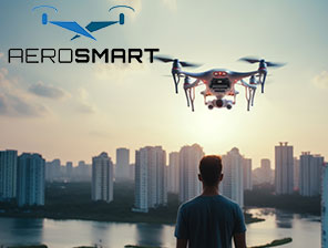
Aerosmart UAV Trading L.L.C. is a tech company that specialises in drones and solutions in the UAE and across the GCC.
Aerosmart UAV Trading L.L.C. is a tech company that specialises in drones and solutions in the UAE and across the GCC.

Not every drone mapping service can ensure accuracy and quality to give the best results. It is only advanced DJI drones that can offer mapping capacities. From land inspection to construction and other projects, the latest drone solutions can deliver fast, safe and affordable solutions, compared to the traditional ones. That’s where the drone companies are coming up with modern techniques to cop with the increasing demand of drones in the UAE.
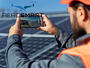
It helps with accurate and professional aerial assessment that offers the best inspection and analysis. Every project is unique and needs adequate equipment to achieve the desired results. As businesses are increasing relying on drone solutions, it is crucial to find professional drone mapping services in the UAE. By partnering with the right source, engineers and organisations can expect the use of cutting-edge technology and drones that can provide precise data from areas that were once challenging to access and capture images and use for surveys.
A genuine drone company in UAE can make the drone surveys easy, ensuring accurate results. Moreover, it is the use of the latest drones that makes drone mapping easier than ever. The key objective of the drone mapping service is to survey an area and collect the data using advanced drones. This surveying over infrastructural and other projects has become common, and that’s where the demand for the latest drones has come up.
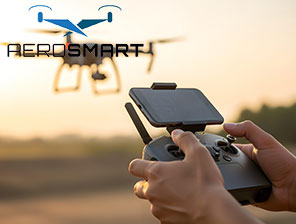
It is crucial to have an idea of how drone mapping works so that you can reach out to the right team for suitable assistance. The modern mapping involves the use of the latest mapping technology, using which it is easy to take pictures from the air. So, the use of the advanced software can ensure that engineers can create an accurate representation of the analytical data of a particular area.
This is about collecting data and images to create a complete picture of a topography. In the case of a drone data survey, it is easy to process the data on a cloud system. When you access the data under one centralised platform, it is easy for every user to get access to it and reach its final analysis involving every member. That’s where drone mapping uses a LiDAR system to understand the distance over which the laser scanning is being conducted.
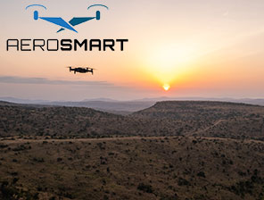
Dubai has been at the top of using smart technologies in various engineering and industrial projects. As the city is into investing in innovation, the drone mapping services fit into various industrial work, such as the following:
Go with a reliable drone company in UAE, as it can help businesses in Dubai to make the most of aerial mapping techniques to come up with the best results.
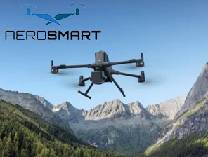
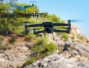
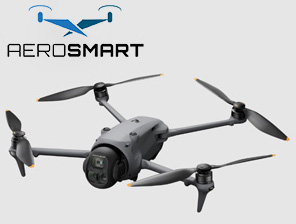
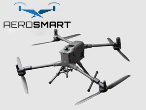
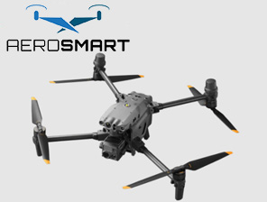
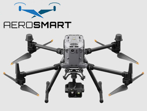
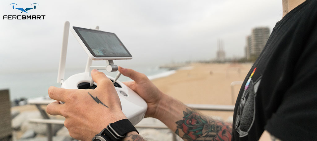
DJI drones are the popular pick among industrial users for their precision of work, advanced features and the reliability they offer. That’s where it is used for a range of aerial mapping work. Moreover, the high-end camera, the flexible flight system, and its safety solutions can be clubbed together to rely on its professional-grade drone solutions. Some of the key benefits are:
Such innovative features of the DJI make it a preferred choice to be used in various drone mapping services in and around Dubai, UAE.
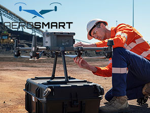
Not every drone mapping company is capable of offering the best service. It requires the right use of the drone and ensures it complies with local regulations. A professional service provider should know the correct handling of the DJI drones and offer expert analysis by using the drone. A reliable company is better to approach for drone services for the following:
This is how it is easy to choose the right and reliable drone company in the UAE, and you can get accurate data details for the concerned project. A professional drone mapping service should include the use of 3D modelling tools for design and planning, thermal imaging for utility inspection, and effective monitoring for real-time data in aerial inspection.
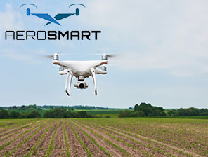
Therefore, agricultural monitoring to other industrial planning work, the latest DJI drones are suitable for use in drone mapping work, to get accurate results in aerial mapping. Try to hire a professional service provider who can offer the best assistance in drone work in the UAE.
All these determine the future of drone mapping and also show how the use of the feature-rich drones can automate tasks and help get real-time data for project work. That’s where there is increasing demand for the integration of drones in various sectors of work. It is what smart city developments look for and are embraced for their advanced facilities.