
Aerosmart UAV Trading L.L.C. is a tech company that specialises in drones and solutions in the UAE and across the GCC.
Aerosmart UAV Trading L.L.C. is a tech company that specialises in drones and solutions in the UAE and across the GCC.

Vertical Accuracy: 4 cm
Horizontal Accuracy: 5 cm

2.5 km² covered in a single flight

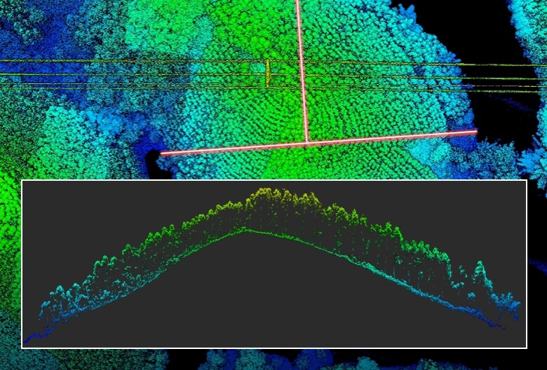
Smaller laser spots, denser point clouds

250m @10% reflectivity
450m @50% reflectivity

Multiple return capability for dense environments

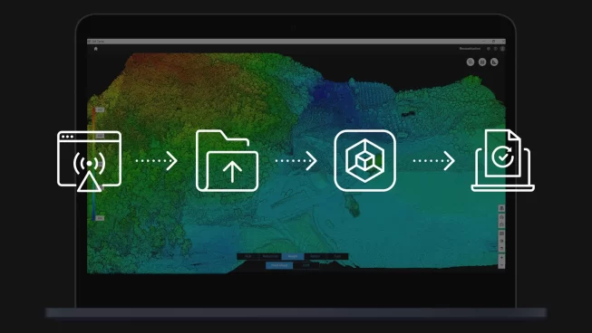
Integrated hardware and DJI Terra workflow

Real-time point cloud visualization during flight

Fast LiDAR data processing workflow
Supported by its powerful hardware, L2 can allow for a precise scan of complex subjects within an extended range and faster point cloud acquisition. During operations, users can preview, playback, and process point cloud models on-site, with Task Quality Reports generated by DJI Terra, offering a simple, one-stop solution to improve overall efficiency. This enables users to achieve high-precision point cloud results with one-stop post-processing.
By combining GNSS and a high-accuracy self-developed IMU, this solution achieves 4cm vertical accuracy and 5cm horizontal accuracy.
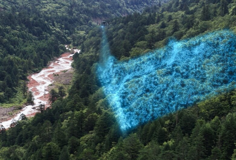
It’s ready for work as soon as it’s powered on and can collect both geospatial and RGB data from a 2.5km² area in a single flight.
In conjunction with Matrice 350 RTK (or Matrice 400), DJI Terra, and DJI Modify, L2 offers a turnkey solution that is simple to use.
Pixel size has been enlarged to 3.3 μm, and effective pixels now reach 20 MP, resulting in a significant improvement in overall imaging, as well as more enriched true-color point cloud details. The minimum photo interval has been reduced to 0.7 seconds. The mapping camera has a shutter count of up to 200,000 times, further reducing operational costs. When point cloud collection is not needed, the RGB camera can still take photos and videos, or collect images for visible light mapping.
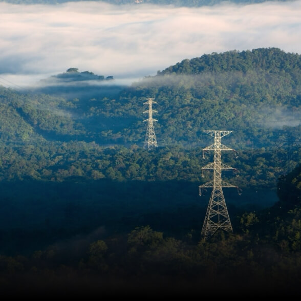
Zenmuse L2’s intelligent recognition algorithm supports identification, tracking, and junction analysis for transmission and distribution lines, enabling semi-automatic flight and data collection.
In coordination with DJI Enterprise flight platforms and DJI Terra, Zenmuse L2 can be applied to land surveying and mapping, electricity, forestry, and infrastructure management, as well as other scenarios.

The DJI Zenmuse L2 is available in the UAE from Aerosmart, Dubai. Pricing depends on the configuration and accessories selected request a same-day quote in AED, with official warranty included.
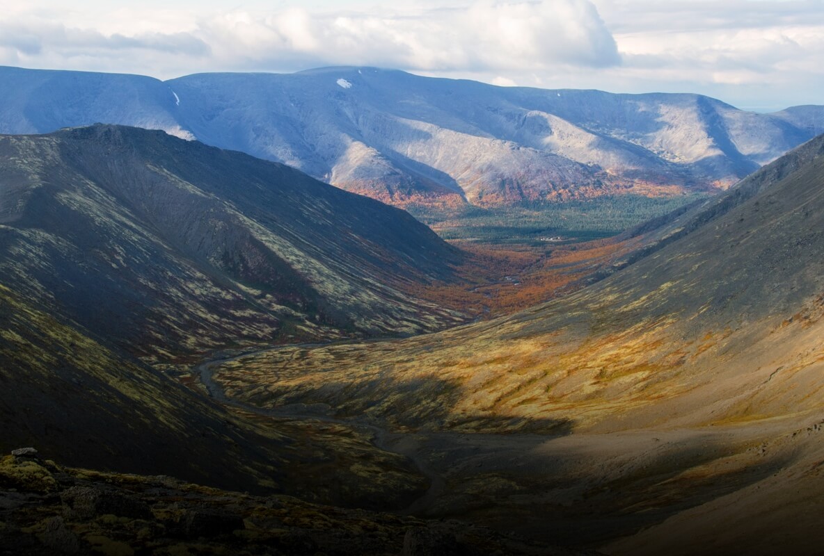
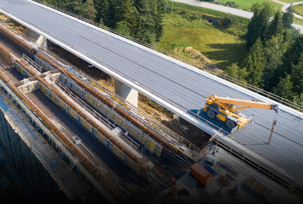
Topographic surveys, corridor mapping, forestry inventory and construction earthworks — anywhere a true-colour point cloud with centimetre accuracy is needed fast.
Multiple returns let the L2 capture ground points through vegetation gaps a key advantage over photogrammetry for vegetated sites and plantations in the region.
The L2 is the proven mid-range choice on the M350/M400; the newer L3 extends range and accuracy for large-area, high-altitude programmes. Aerosmart advises based on your project sizes.
Yes every DJI Zenmuse L2 sold by Aerosmart is a genuine unit covered by the official warranty, with local repair and after-sales support handled in Dubai.
Your journey into the extraordinary begins here. Share your details for a personalized DJI Zenmuse L2 quote and let your imagination soar.
✅ Thank you for reaching out. Your message has been successfully sent, and our team will get in touch with you shortly.