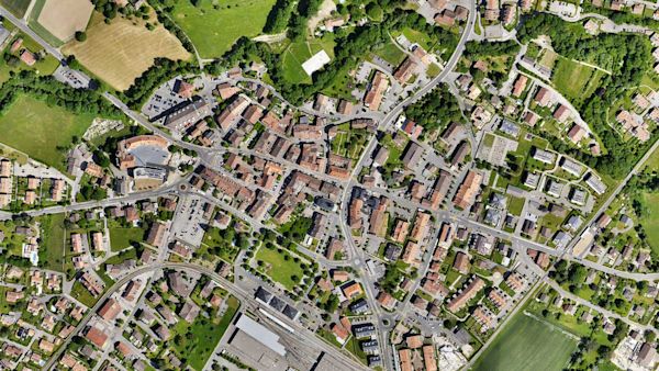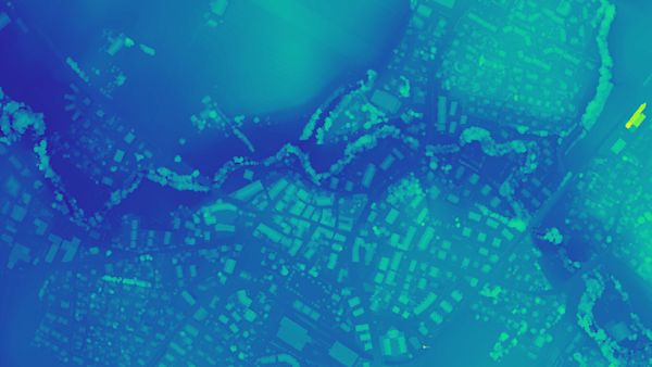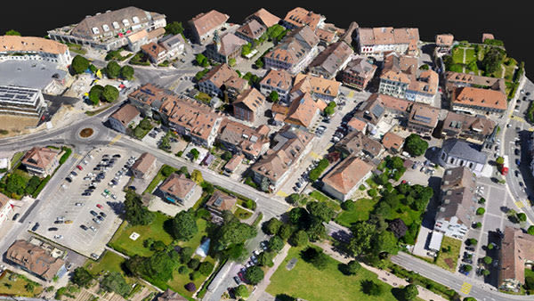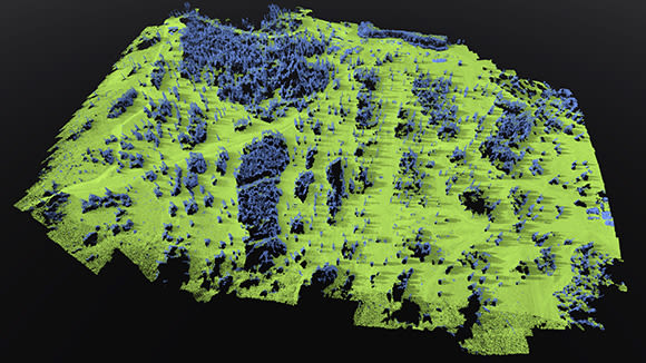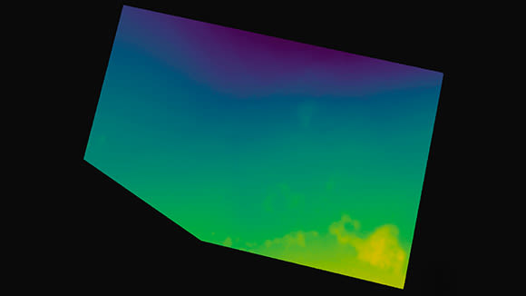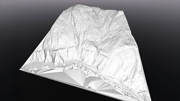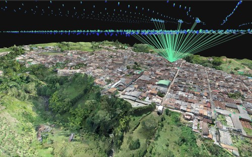


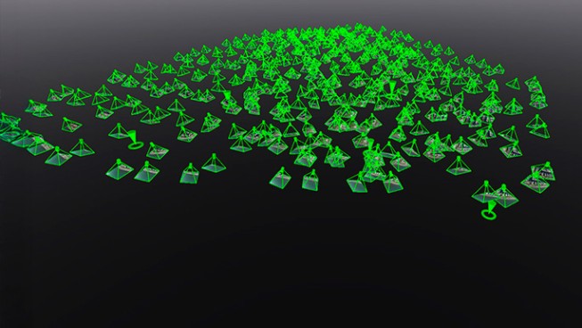
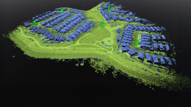
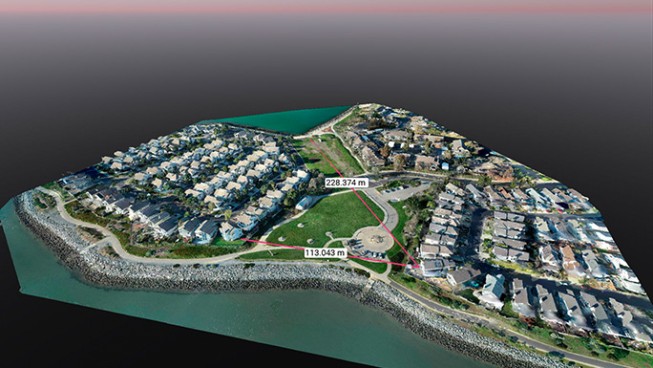
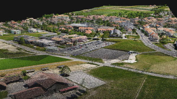
Generate a dense point cloud, produce a depth point cloud, or fuse both sources together based on what the project requires PIX4Dmatic selects and combines to produce the most complete reconstruction available from the captured data.
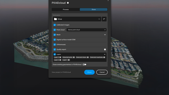
Export formats:
- .laz
- .las
- .xyz