


Aerial Land Surveys Delivering Accuracy Across the UAE
We manage a focused process built for clarity. Our team prepares the site before selecting the drone. We then collect the results in a connected workflow after planning your route.
Survey Smarter. Build Better
Here are a few strategies we follow to ensure smarter surveying-
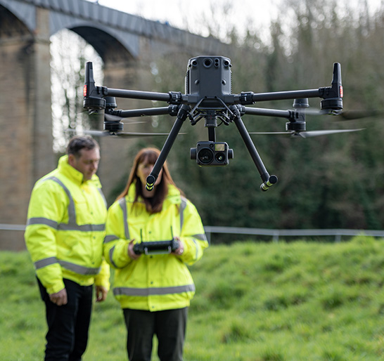
Clear Field Strategy
Every project is structured to produce direct survey data that supports early-stage planning and ongoing updates. We are here to prepare UAVs as well as flight routes. This offers teams the right beginning point.
Reliable Support from the Team
Our company professionals can guide users through
- Setup
- Flight checks as well as
- Data steps
That keeps land teams steady as well as productive during mapping tasks around Dubai and the UAE.
Reliable Data Foundations
We focus on clarity for geospatial teams. Our solutions help users control each stage from collection to delivery. This way, we can build confidence around surveying alongside field verification.