
Aerosmart UAV Trading L.L.C. is a tech company that specialises in drones and solutions in the UAE and across the GCC.
Aerosmart UAV Trading L.L.C. is a tech company that specialises in drones and solutions in the UAE and across the GCC.
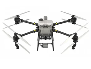
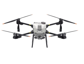
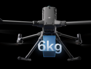
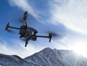
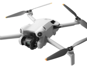
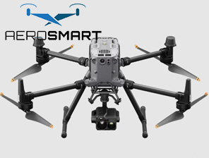
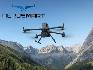
Drones are known to revolutionise every industry, and they are an important constituent for aerial viewing and other needs. This is one of the top-tier drones available, and it is mostly used for various applications. However, one of the top-tier drones available for industries to use is the DJI Matrice 350 RTK. This is one of the best and most powerful tools available online for various uses.
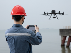
Does not matter if you are in Dubai or any other part of the world; the drone delivers precision, reliability, and efficiency. In this blog, we are going to learn more about DJI drones and how they are used by professionals in several roles.
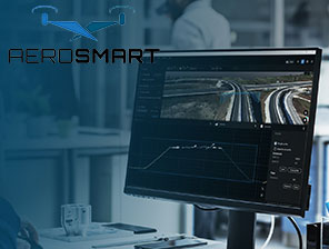
The drone is engineered for perfection in high-accuracy surveying and mapping as well. Apart from that, they are also used to identify the key features of the structure and then make a high-quality map. The RTK drone stands for Real-Time Kinematic technology that ensures centimetre-level precision for several mapping applications.
Some of the uses of drones in mapping are as follows:
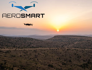
In Dubai, some rapid construction and smart city initiatives are being started. In such a condition, the advanced models of drones are known to produce accurate mapping and detailed information as well.
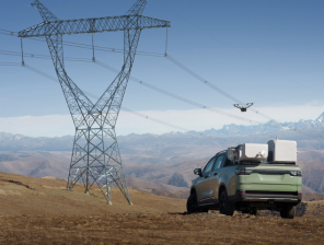
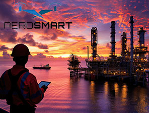
Critical infrastructure always requires strong vigilance and inspection as well. Infrastructural projects like power lines, bridges, and towers need efficient drone surveying to gather critical information. A proper drone is helpful for providing the following advantages:
In a place like Dubai, working with humanitarian standards is always preferred. Drones provide an efficient way to ensure that inspections are conducted swiftly and safely.
Drones are known to be invaluable for emergencies, and the DJI Matrice enhances such public safety operations by:
The top authorities in Dubai use such drones to make sure that rapid response is conducted during emergencies. Such drones are especially important in critical scenarios as well.
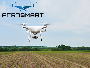
Drone technology is known to help agriculturalists identify cropping patterns and other inputs. Additionally, the drone is also known to aid the farmers by:
Even in the arid areas present in Dubai, it is also known to optimise farming measures and improve productivity.
Media and filmmaking industries demand high-quality aerial footage, which is used in movies and other documentaries. They are also used for entertainment, where swarms of drones are used for multiple patterns and aerial shows. The usage of such drones Dubai is as follows:
Ultimately, the media and filmmaking are among the best uses for drones, which are as popular and resourceful as DJI Matrice.
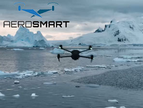
Conservationists are known to use the DJI matrice or similar drones for a number of purposes, such as:
All these measures are highly important for nature documentary creators and wildlife professionals. They are helped extremely with drones like DJI Matrice 350 RTK for providing all the information regarding wildlife migration.
Construction projects need constant vigilance and awareness about the building status and seeing the project progress. A good drone with proper handling skills is known to provide the following:
Ultimately, the construction progress is properly noted, and in some cases, all the information is compiled using a real-time video documentary of the section.
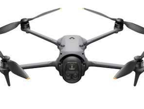
The DJI Matrice RTK drone is a game-changer across multiple industries, from construction and agriculture to public safety and filmmaking. Its precision, durability, and versatility make it an essential tool for professionals in Dubai and globally.
Whether you are conducting high-stakes inspections or capturing breathtaking aerial footage, this drone delivers unmatched performance. Investing in the DJI Matrice 350 RTK means embracing cutting-edge technology that enhances efficiency, safety, and accuracy in every mission.


✅ Thank you for reaching out. Your message has been successfully sent, and our team will get in touch with you shortly.