


Precision Drone Surveys for Dubai’s Future Projects
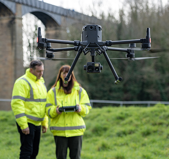
Major developments across Dubai rely on accurate field insight, especially for land checks and infrastructure alignment. Aerosmart supplies drone platforms built for surveying, large area review, and detailed site mapping across growing regions of the UAE. These tools help teams maintain clarity during design, build, and maintenance cycles.
Our systems support contractors, engineers, architects, and government teams that depend on consistent detail for day to day decisions. Each survey session delivers clean outputs, balanced coverage, and data that fits easily into existing processes. With reliable UAVs, field crews can move faster, reduce disruption, and keep work on schedule.
Geospatial Accuracy Delivered by Next Gen Drones
Here’s how our company offers solutions with accuracy-
- Clear Vision
Our platforms provide bright, sharp visuals that strengthen surveying and mapping work across active sites in the UAE.
- Strong Data
Reliable geospatial information supports refined planning, terrain checks, and detailed survey workflows for teams in Dubai.
- Steady Flight
Professionals rely on our drone systems and UAVs for dependable performance across open landscapes and compact city sites.
- Trusted Support
Aerosmart UAV Trading stands as a company focused on practical field needs and complete long term solutions.
- Smarter Outputs
Our tools deliver useful files for engineers, developers, and planners who require clarity and consistency.
Aerosmart UAV Trading thus helps teams work smoothly connected to real site conditions.