DJI’s First Long-Range, High-Accuracy Aerial LiDAR System
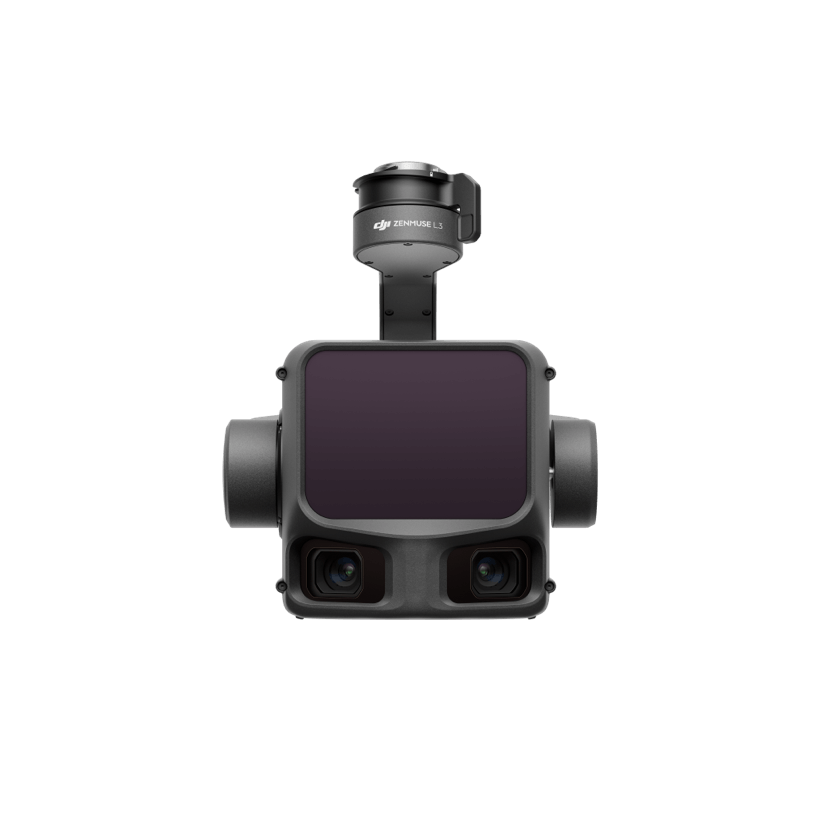
ZENMUSE L3
See Through, Far and True

Aerosmart UAV Trading L.L.C. is a tech company that specialises in drones and solutions in the UAE and across the GCC.
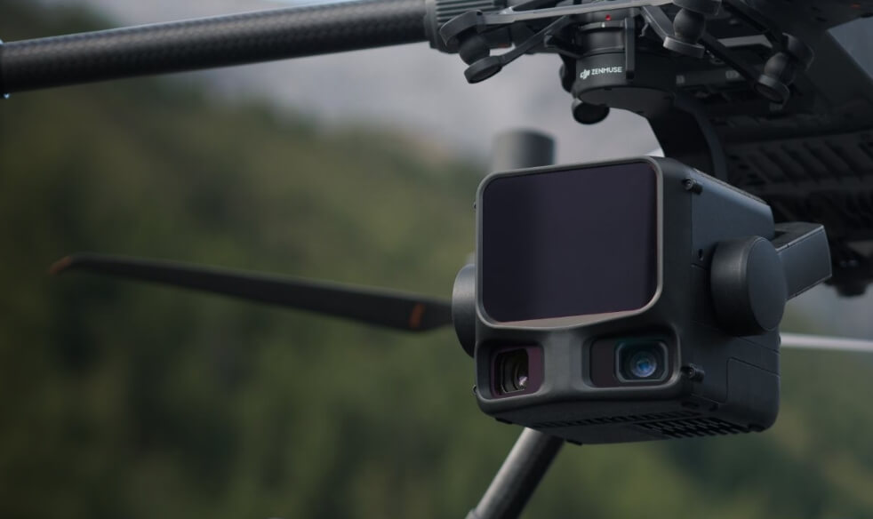
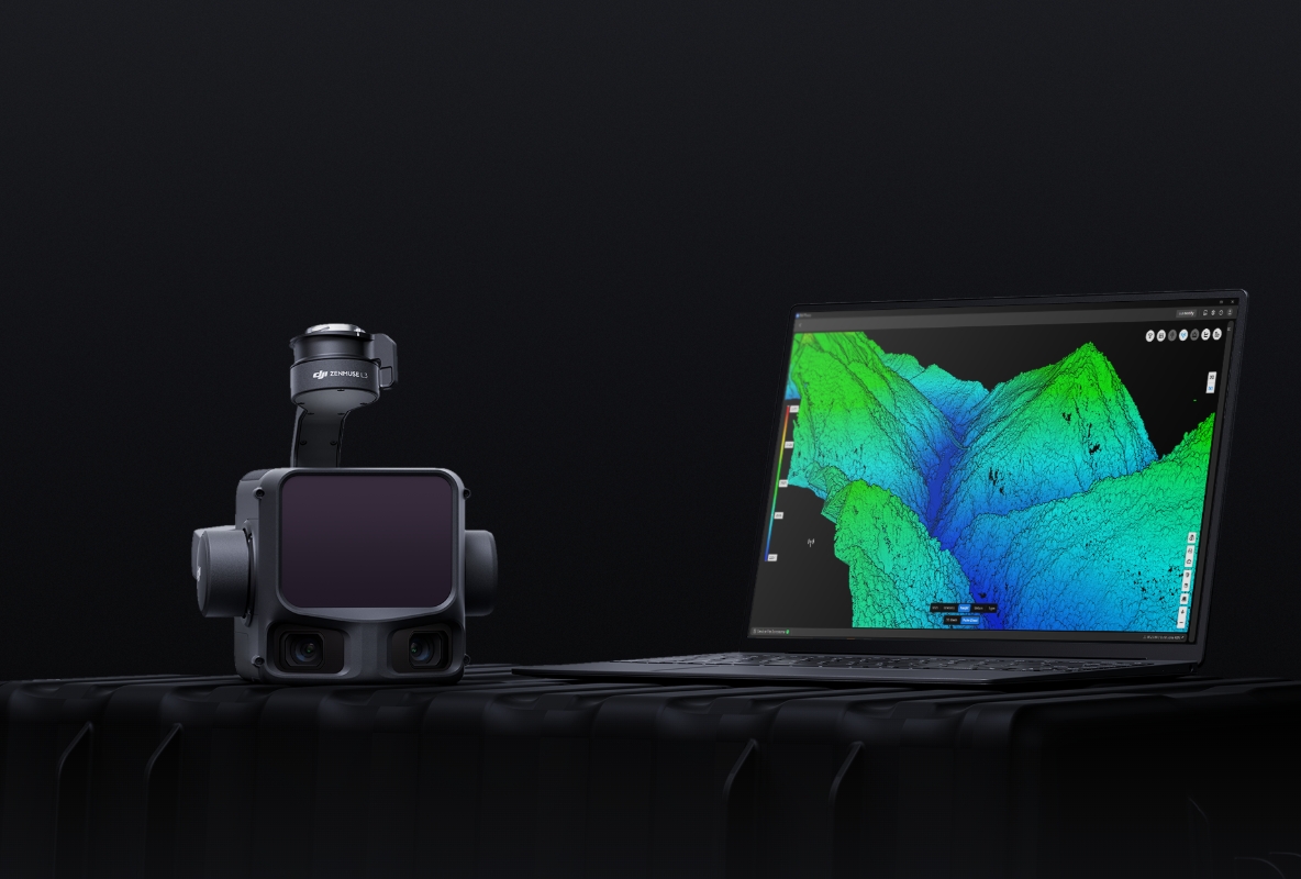

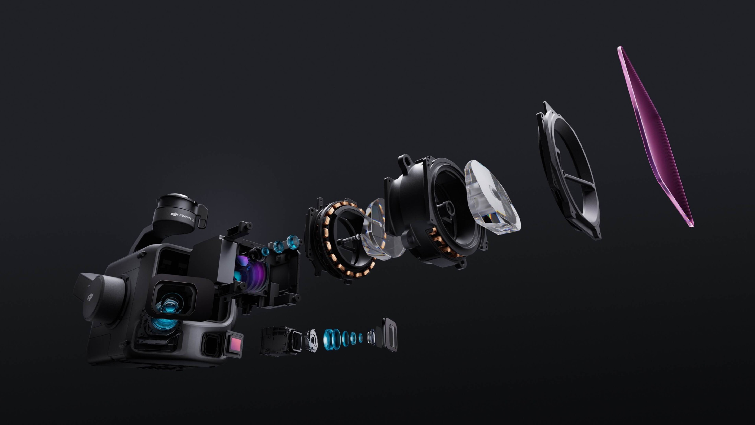
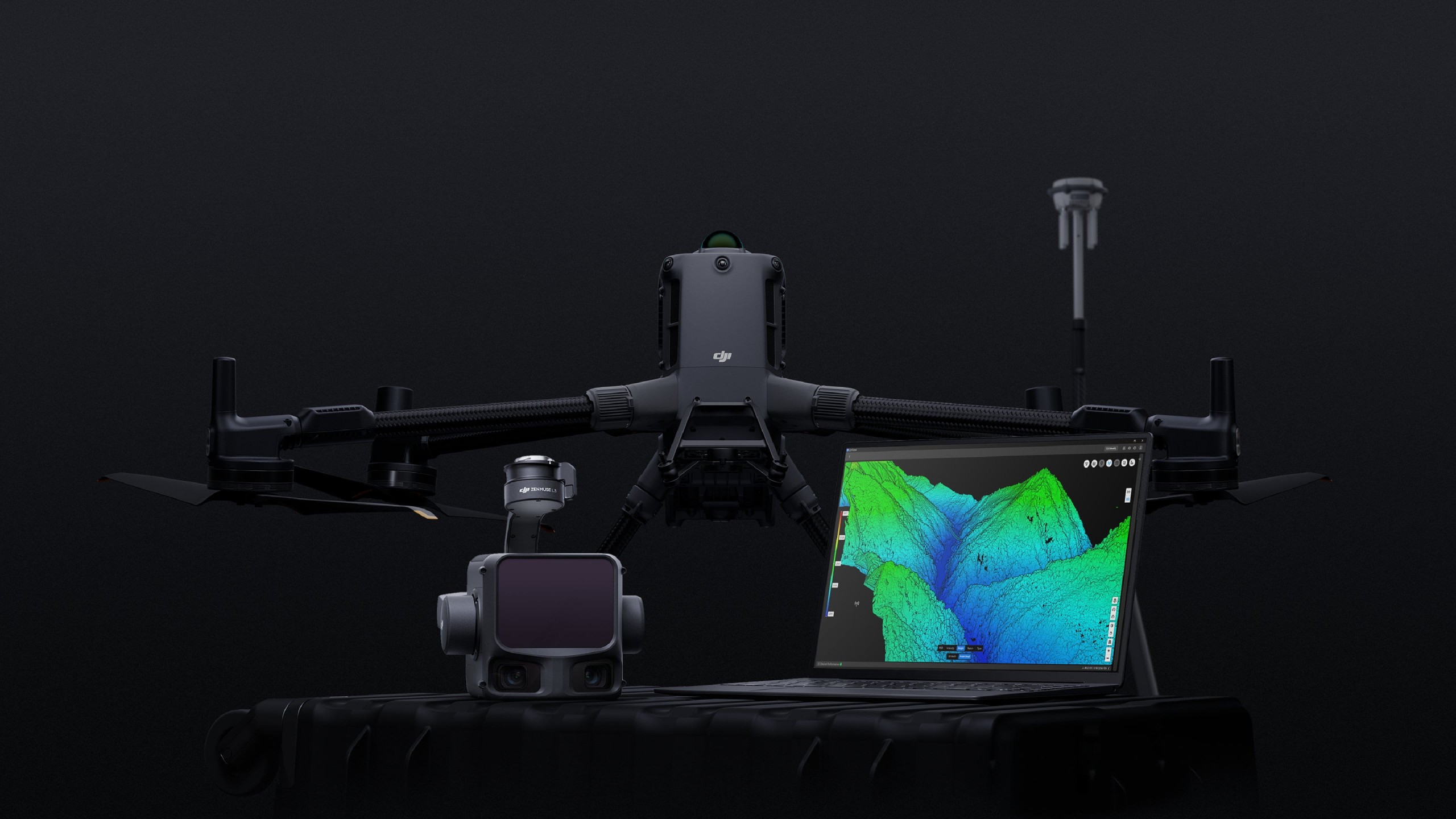
Zenmuse L3 integrates a 1535nm long-range LiDAR, dual 100MP RGB mapping cameras, a high-precision POS system, and a three-axis gimbal, all within a compact device, delivering unprecedented performance for its size.
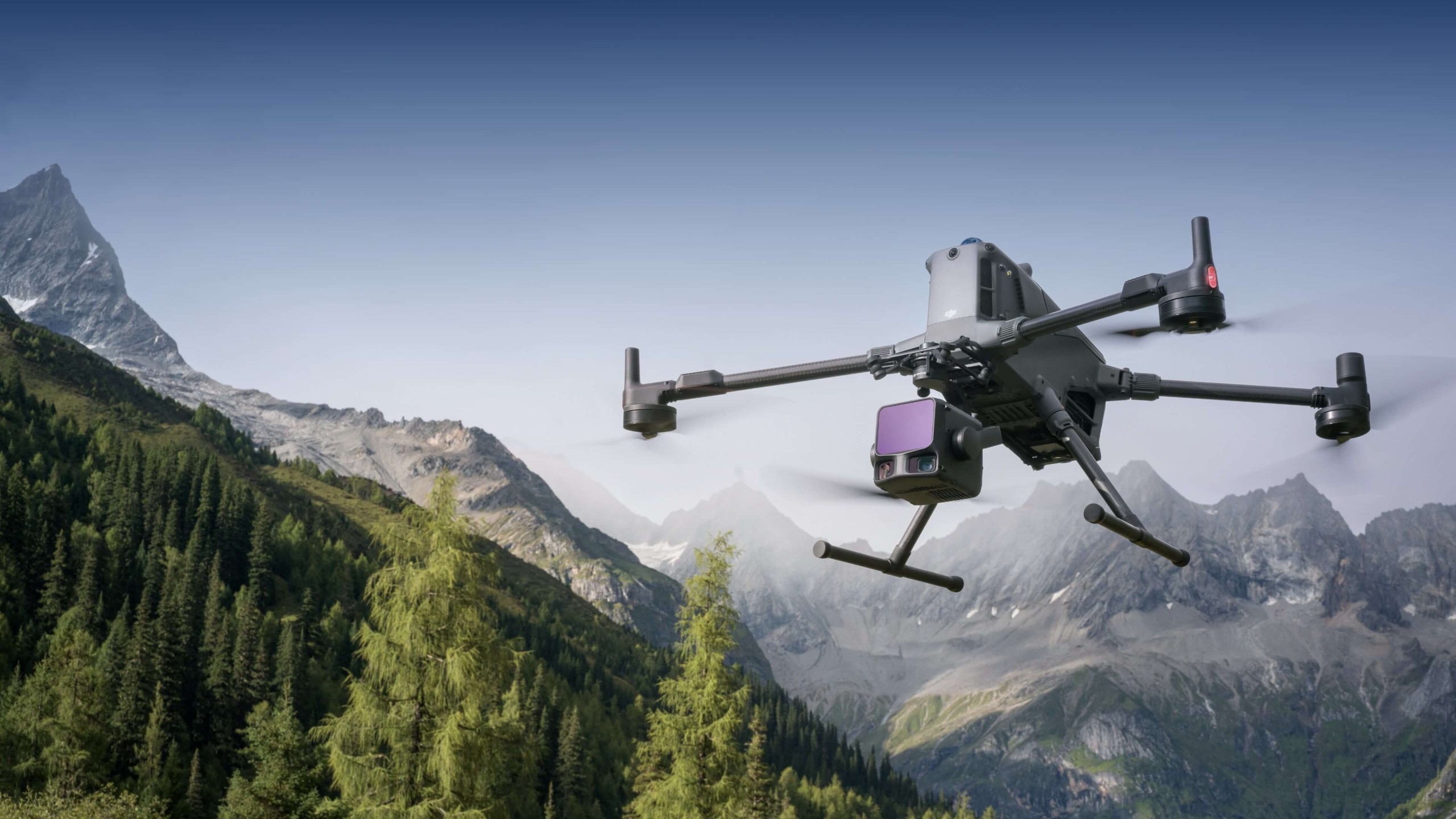
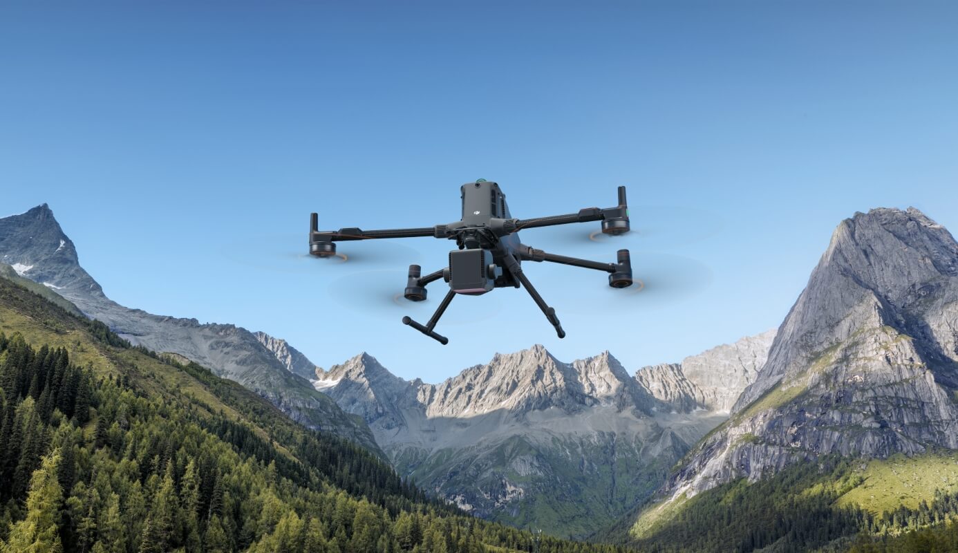
Zenmuse L3 delivers significant improvements in both point cloud and RGB accuracy, while raising efficiency to new heights. Paired with DJI Matrice 400, a single flight can cover up to 10 km², enabling up to 100 km² of high-accuracy mapping per day.
The upgraded high-precision POS system achieves heading accuracy of 0.02° and pitch accuracy of 0.01° (post-processed, 1σ). The self-developed LiDAR delivers ranging repeatability of 5 mm at 150 m (1σ) [5] and supports microsecond-level time synchronization. Each unit undergoes rigorous factory calibration to ensure consistently reliable survey results.
Vertical accuracy is better than 3 cm at 120m altitude, better than 5 cm at 300 m, and better than 10 cm at 500 m [6], easily supporting mapping projects at 1:500, 1:1000, and 1:2000 scales. The point cloud thickness produced by Zenmuse L3 is only half that of Zenmuse L2, supporting advanced analysis and high-accuracy applications.
With dual 100MP RGB mapping cameras, Zenmuse L3 achieves a ground sample distance (GSD) of 3 cm even at a 300m flight altitude [7]. Real-time position synchronization enables operation without ground control points (GCPs), ensuring high-quality imagery for precise mapping.
With a smaller laser spot and higher single-pulse energy, Zenmuse L3 offers superior penetration capability. In terrain mapping and similar applications, it captures more ground points with greater completeness, significantly improving the accuracy and integrity of terrain data for precise surface fitting and reconstruction.
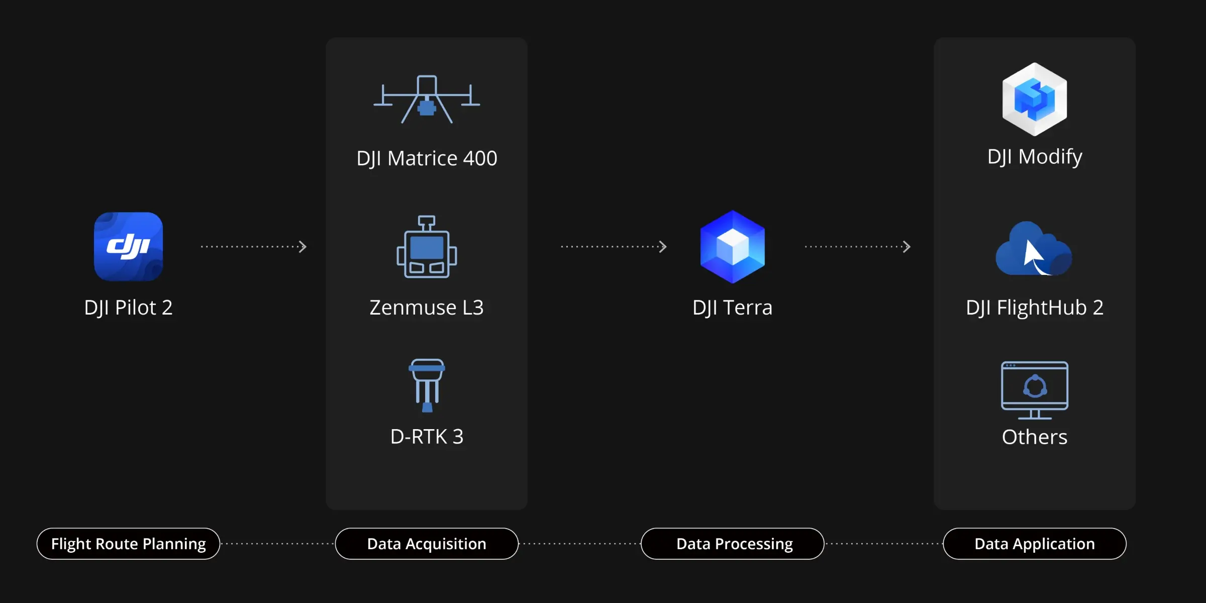
Zenmuse L3 seamlessly integrates with DJI’s ecosystem to deliver an end-to-end mapping solution. From data acquisition and processing to application, this unified workflow is simpler to operate and easier to master than traditional multi-platform setups, helping users efficiently complete a wide range of mapping tasks.
Delivers a complete workflow covering data capture, processing, and application.
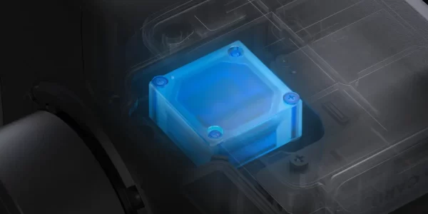
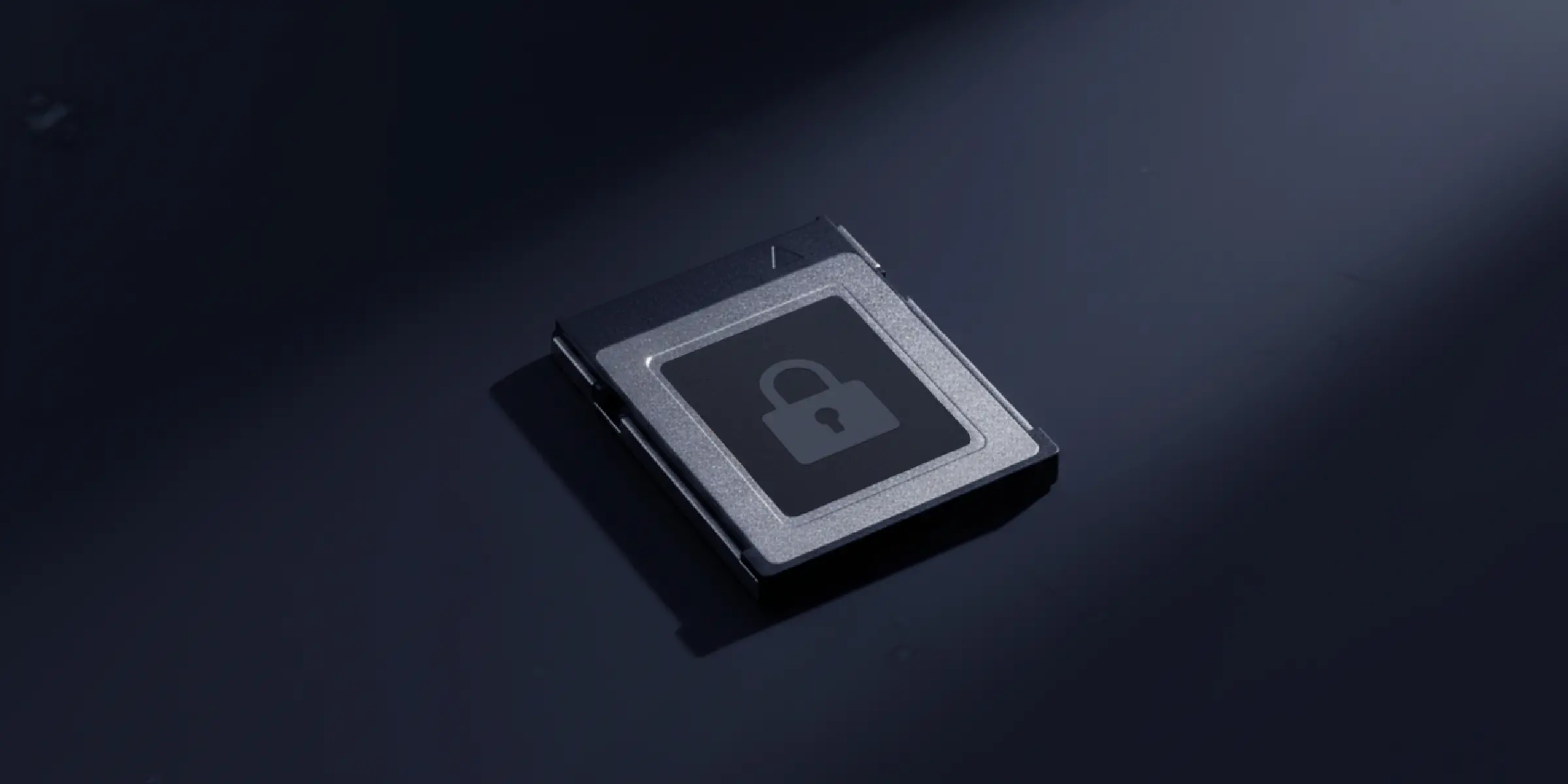
Zenmuse L3 supports CFexpress™ memory card encryption, enabling secure protection of stored data and preventing unauthorized access or data theft. Matrice 400 offers one-click log clearing and AES-256 encryption for video transmission, further ensuring data confidentiality.
Comprehensive Protection | Professional Quality Assurance | Exclusive Service | Service Starts With Activation

Unlimited number of free repairs within coverage

Shared coverage for maximum protection

Hassle-free repair with free shipping both ways

Swift response from DJI technical experts
An additional 1-year extended warranty will be provided for your product after the standard warranty period ends.
Support provided by a professional engineering team
Original parts, quality assurance
 Topographic Survey
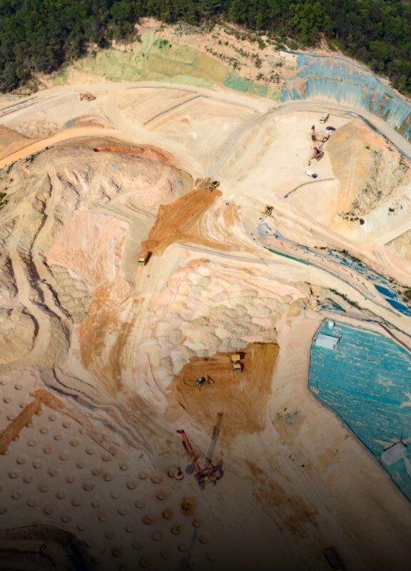 Earthwork
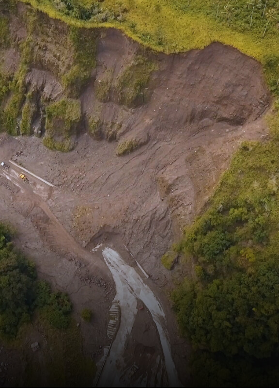 Geological Disaster Investigation
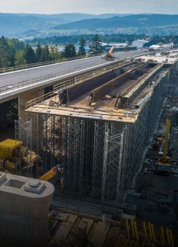 Engineering Survey
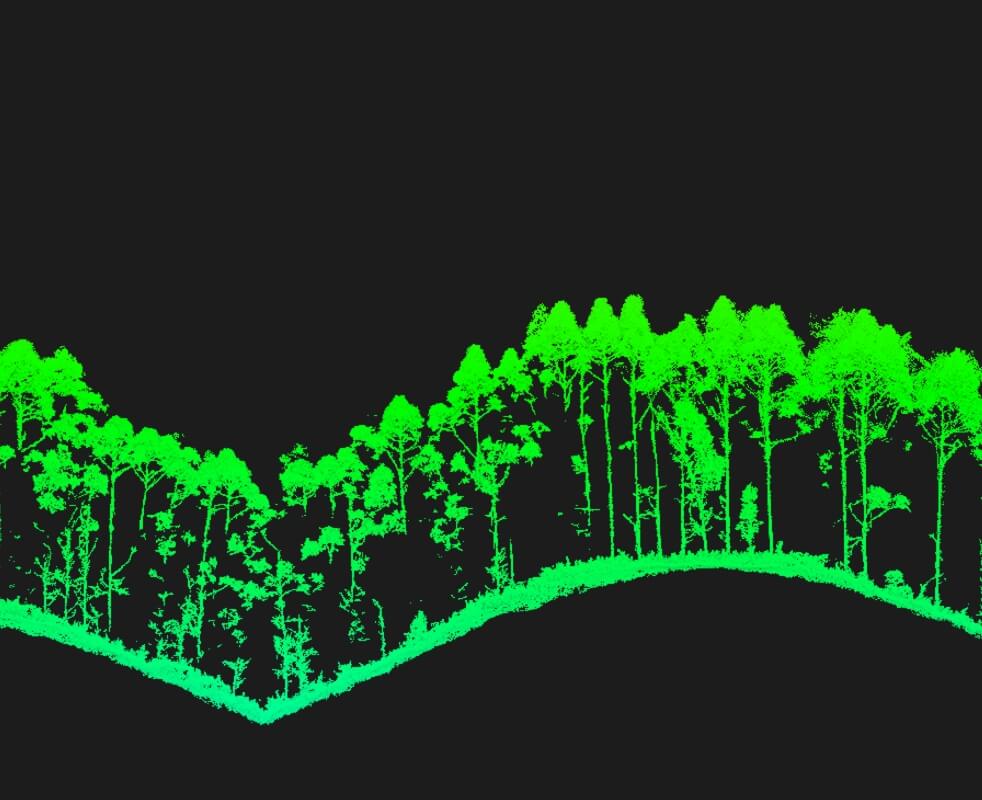
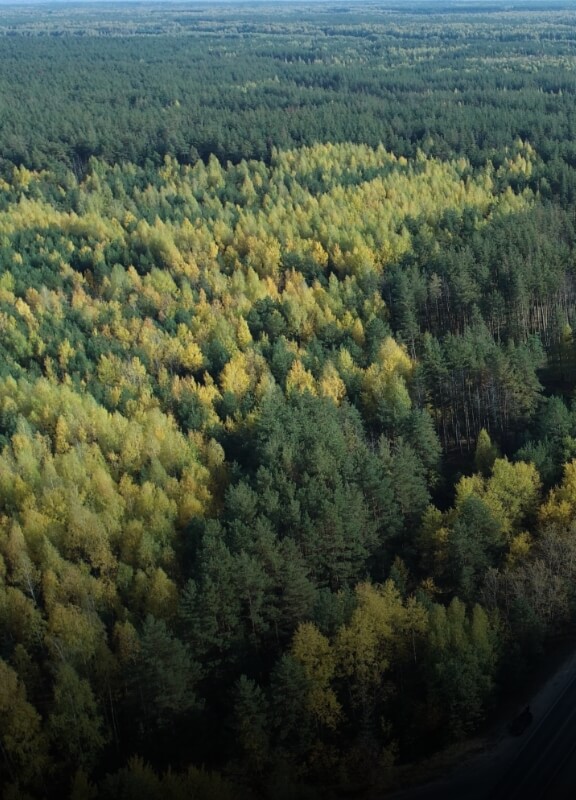 Forestry Management
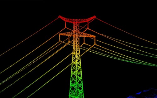
 Electricity
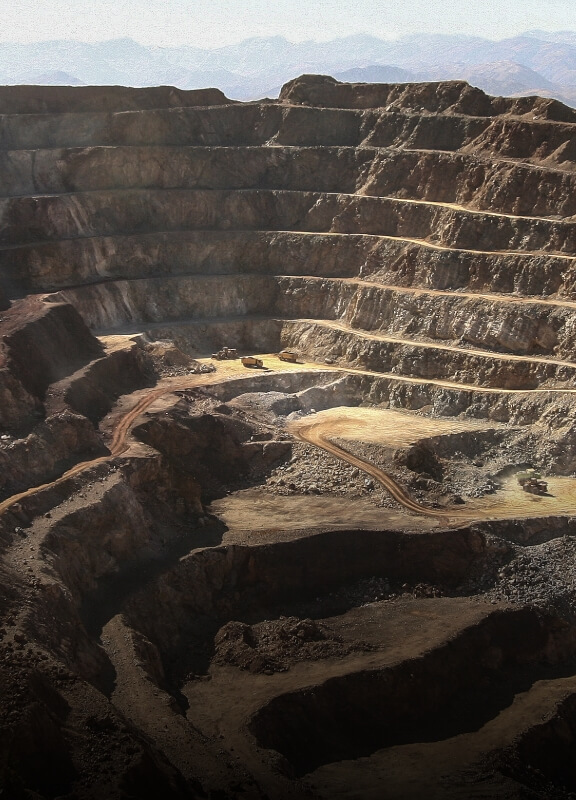 Mining Survey
 Emergency Survey
Your journey into the extraordinary begins here. Share your details for a personalized Zenmuse L3 quote and let your imagination soar.