FAQs
1. What are your solutions to improve the safety of facades using drone solutions?
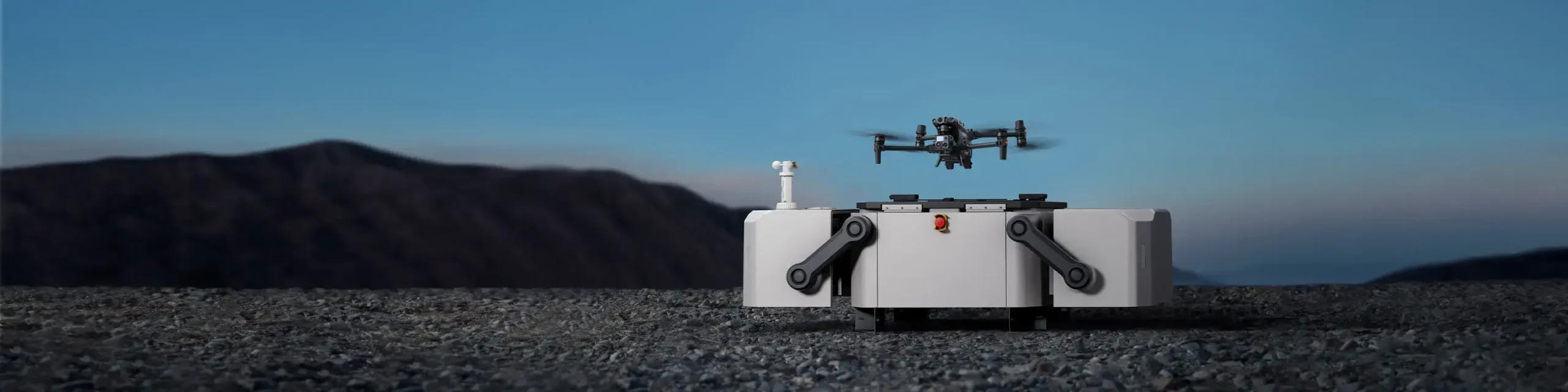
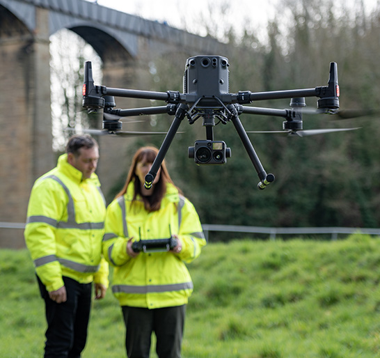
We eliminate the danger of scaffolding by resorting to the utilisation of safe inspections, surveys, and monitoring of the high walls with the help of UAVs, and this makes the high wall assessments more expeditious and risk-free throughout the city of Dubai and the UAE.
2. Is it possible to capture data to be used in 3D modeling?
Yes, our systems produce full-fledged data of mapping and 3D modeling, which are best suited for long-term tracking of facade, surveying and planning of structures.
3. Are the UAVs compatible with glass and reflective surfaces?
We stabilise drones which will be applied to the reflective materials on the facades, in order to be able to perform clear inspection, correct mapping, and correct monitoring.
4. How accurate is the vertical survey data?
Our surveying flights will deliver highly accurate point clouds and imagery to satisfy high wall engineering, facility planning and asset documentation needs in the city of Dubai and the UAE.
5. Do you have the support of maintenance teams?
Yes, we provide constant monitoring, regular inspection, professional survey, and prolonged mapping so as to help teams maintain all the facades all year round.
6. What industries benefit the most from these solutions?
Our drones and UAVs can be applied in any sector that involves the use of high wall resources, including construction, real estate, government and energy services, in order to carry out accurate surveying, modeling and inspection operations.