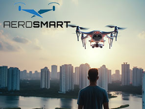
Aerosmart UAV Trading L.L.C. is a tech company that specialises in drones and solutions in the UAE and across the GCC.
Aerosmart UAV Trading L.L.C. is a tech company that specialises in drones and solutions in the UAE and across the GCC.

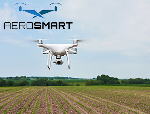
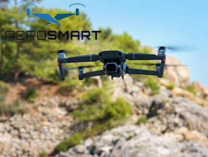
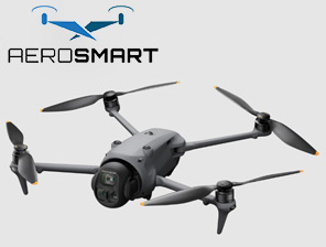
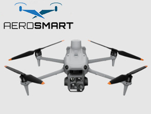
An advanced professional drone is designed to meet purposes for surveying and mapping tasks in agriculture and environmental monitoring. DJI Mavic 3M is the leading and compact model and comes feature-packed. In order to get precise farming results and smart mapping solutions, this drone model can revolutionise fieldwork, offering excellent outcomes. This drone remains a top-tier solution for researchers and surveying professionals to get efficient and precise outcomes.
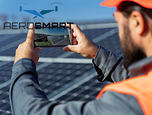
The DJI Mavic 3M model has excellent multispectral imaging, lens positioning and advanced design. It is these features that make the drone solution suitable for aerial surveying, making one point out the invisible. It is the agriculture field work that demands precise camera capturing to analyse crop growth from a height. It is its advanced camera technology that offers clarity and precise data, which is crucial in agricultural projects.
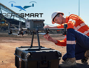
This is how the model is a smart and reliable choice to pick for most field work, given the challenging terrain across UAE. It is its weather-resistant built quality that makes it deliver consistent performance, in dusty, humid or arid environments. These contribute to the drone model becoming a top choice among field workers or surveyors.
The primary features that make DJI Mavic 3M ready for fieldwork are as follows:
The advanced drone is a preferred choice for its excellent camera that helps professionals see the invisible. Data accessing becomes easier, and farmers can facilitate easy workflow, lowering the overall use of money and resources. This can maximise productivity and ensure that agricultural project outcomes are effective for research and survey work. The other features to mention are:
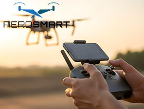
The drone model comes with a DJI controller that offers ease of viewing, no matter the level of present light. It has an intuitive interface that allows easy integration with different flight modes of the drone, along with its automation features.
Try to get the drone from a reliable source to ensure effective and timely technical support. From setting the drone to its smooth use, its take-off can go smoothly with little technical knowledge. This is where one can approach the best drone company to get adequate assistance and invest in an advanced and efficient drone solution for various surveying and fieldwork.
Adding to the compact size, design and portability of the smart drone model is the RTK module that helps with precise mapping solutions in fieldwork. It gives centimetre-level accuracy in data collection. This is what surveying professionals look for. The drone solution is turning out to be a game-changer in agriculture, offering accurate results.
Such innovative software integration allows ease of efficient and fast workflow, allowing one to save on the time and the overall costs for an agricultural project. It is also useful for projects in sectors like agriculture, mining, construction and others to boost the productivity level. The advanced software integration helps offer an all-in-one solution to get advanced and accurate results for analytics and mapping services, streamlining tasks from flight planning to data collection and others.
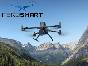
Who doesn’t wish to get a hands-on best drone model, that can navigate through complex environments? It is none other than the DJI Mavic 3M that can easily take shots from challenging areas. It has advanced obstacle sensation sensors due to its advanced technology. The machine easily adjusts its altitude depending on the terrain, making it suitable for use in mountainous areas, giving precise and effective results.
Whether field work demands scanning a farm with a rugged area or surveying large fields in difficult areas, this drone model has your back. The model can easily sense obstacles in omnidirectional, ensuring safety during field operations. It is installed with multiple vision sensors to detect and then avoid any obstacles nearby. This is how the drone is smart, compact and ready to fly in difficult terrains.
The drone can survey up to 200 hectares, with a total of 43 minutes of flight time. It is meant for enhanced and efficient operations. It reduces the need for multiple flights, helping one save resources and time and becomes easier to capture image and get data quickly. Adding to this is its foldable design that makes it portable and compact to travel with its for various fieldworks easily.
It is the drone’s latest and most modern imaging solution, making it suitable for use in agricultural p[projects. What sets the drone model apart from the rest is its multispectral camera features and its four sensors. It has a light spectrum that helps in precise data collection, no matter the condition of terrain in fieldwork.
Professionals are fascinated by the level of detail that the drone model can capture, such as identifying crops and pests, analysing soil conditions and evaluating pant growth effectively, even from a distance. Surveyors can gather better data, which helps with effective data management, improving the yield from surveys and fieldwork.
The best drone company is a preferable choice as it can deliver intelligent drone solutions. It should meet the demands of environmental and agriculture monitoring and precise aerial surveying. This is how it becomes an indispensable tool for surveyors who want accurate capturing with efficient outcomes in fieldwork. Unlike the traditional methods, it saves time and effort as it exemplifies innovation at its best.
A compact and high-performing drone focuses on delivering intelligent and accurate solutions. Try to get a field-ready drone from a reputed company that is aware of the latest technology. From flight planning to correct data interpretation, the modern drone system is the best to work with. This is how the DJI Mavic 3M empowers users to optimise operations and get the best outcome in various fieldwork.