

Cadastral Clarity from Above
Land teams need reliable tools that bring ground conditions into clear focus. Our platforms support surveying tasks with overhead visuals. It helps refine mapping work while keeping every survey step aligned with site reality. In fact, customers can work in Dubai and other UAE areas.
We function as a company focused on practical field needs. This is how we offer geospatial clarity with trusted solutions that support daily planning decisions.
Smarter Boundaries. Better Decisions
Field Ready Insight
Bright overhead detail supports mapping tasks, helping land teams understand how parcels shift across different areas.
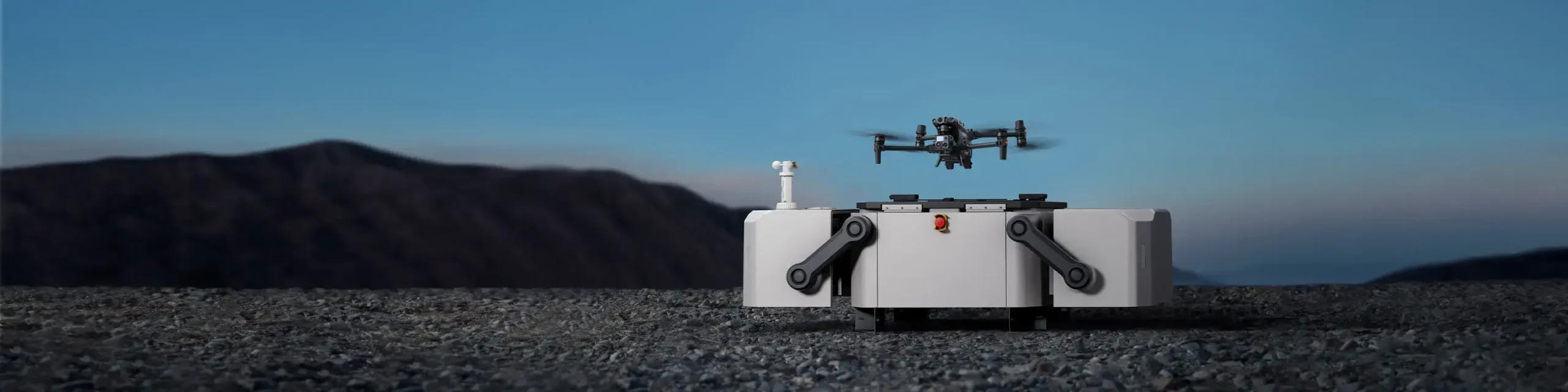
Reliable Operation
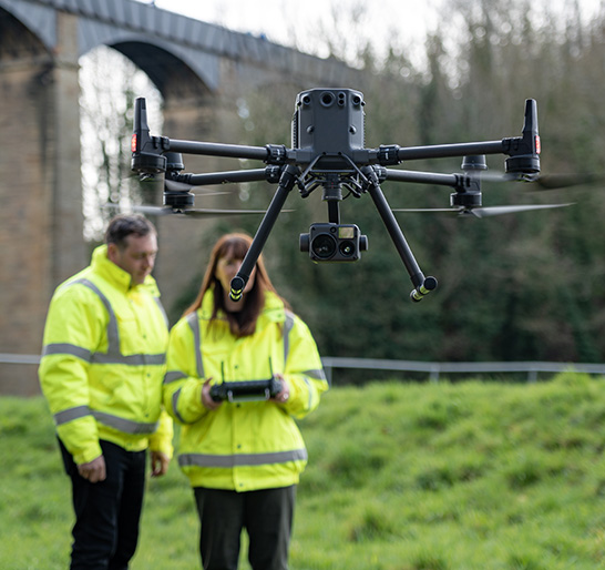
The drone session offers a clear understanding for legal as well sa administrative checks. This helps them document limits without any delay.
Broader Coverage
Capable UAVs support extended sessions, giving users flexibility across large parcels or dense city blocks.