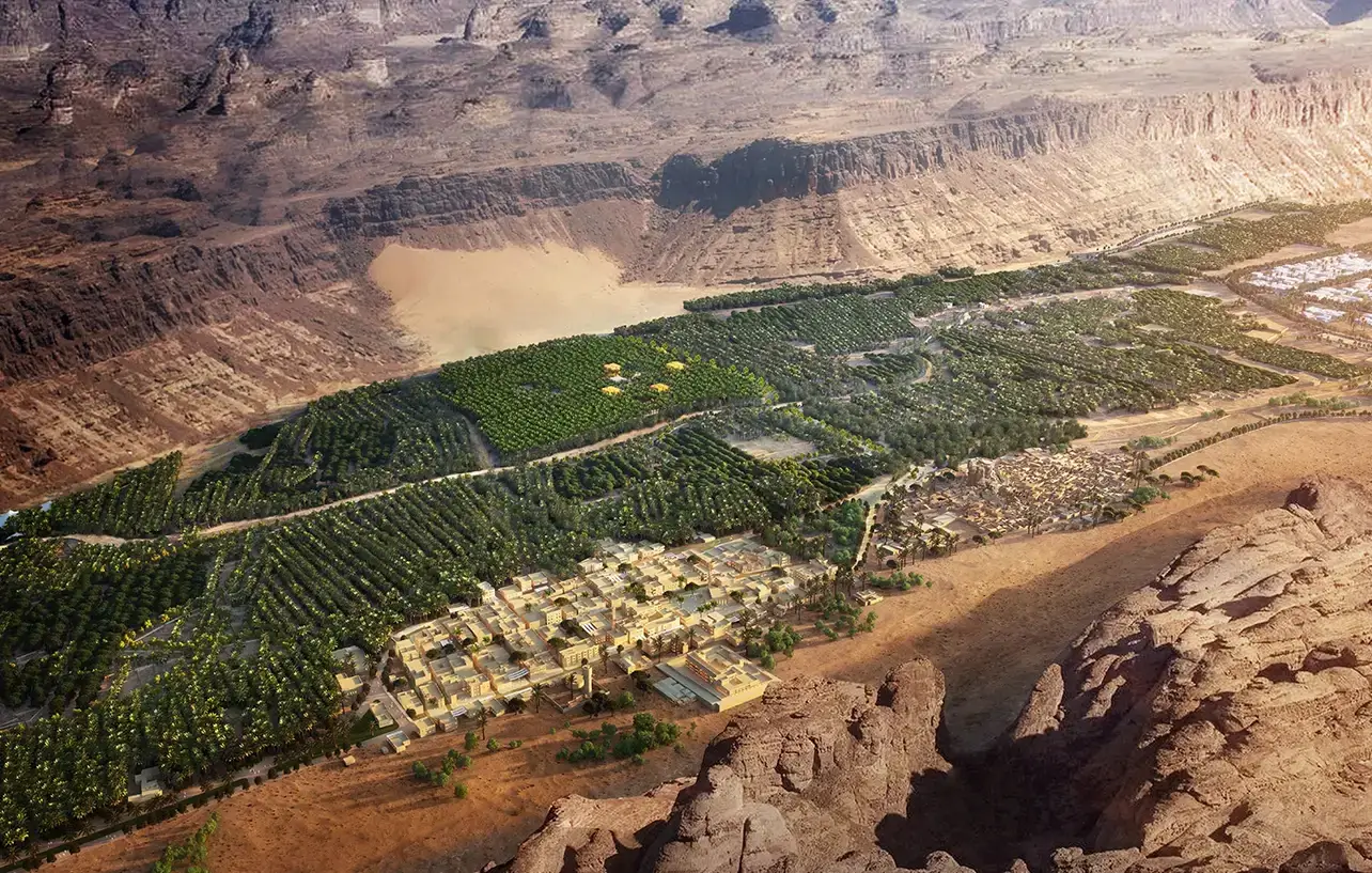
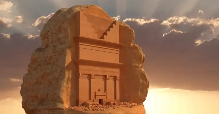
Situated in northwest Saudi Arabia, AlUla is an iconic and inspiring region that encapsulates 200,000 years of human history. Often described as the “world’s largest living museum,” the UNESCO World Heritage site is home to spectacular natural rock formations that also double up as an “open-air library” chronicling the origins of the Arabic language.
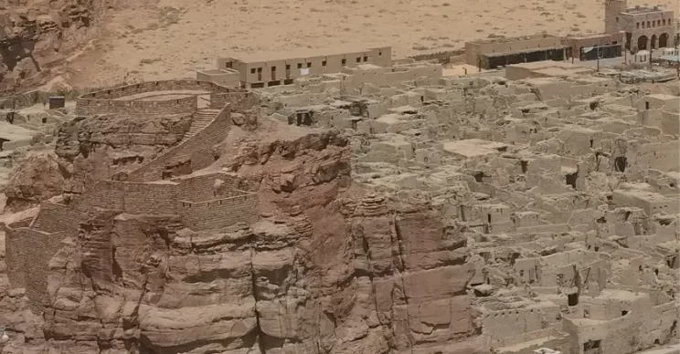
More than one hundred well-preserved and inscribed tombs, 900 houses, 500 shops, five town squares, and a castle dating back to the 10th century bear testimony to the confluence of commerce and culture that once was AlUla. Today, the area is at the forefront of Saudi Arabia’s Vision 2030 plan that focuses on sustainable development through economic diversification actions.
The Royal Commission for AlUla (RCU) was established in 2017 specifically to protect and evolve AlUla as a place of heritage for the world to explore. The Kingdom understands that safeguarding the nation’s cultural patrimony in a digital format is crucial for its understanding, analysis, and long-term stewardship.
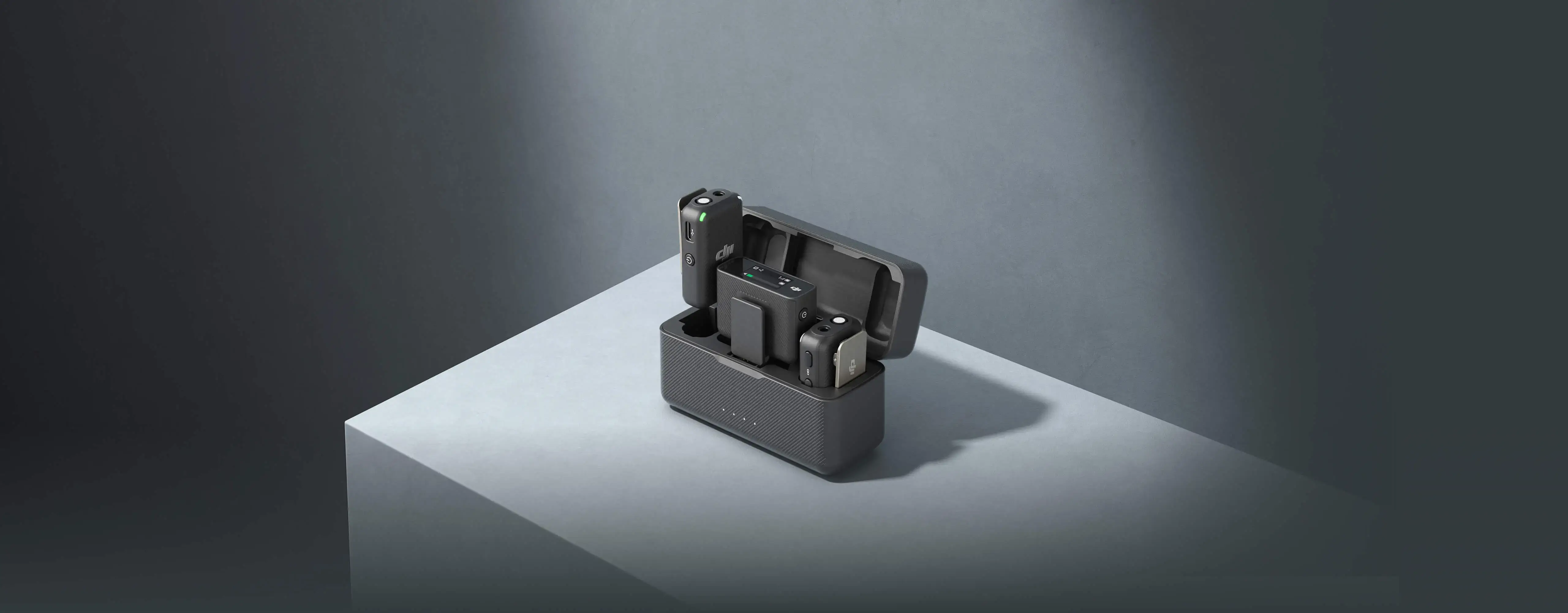
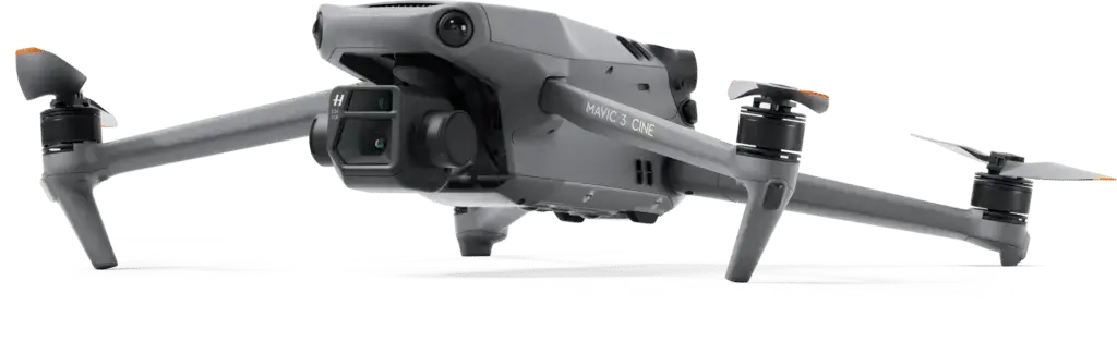
This is why NineTenths, one of the leading drone technology companies in Saudi Arabia, was recently tasked with creating a digital twin of a core area of the historical town measuring 1 sq km. The team deployed the DJI Matrice 300 (M300) RTK drone and Zenmuse P1 full-frame 45MP photogrammetry camera for the project. Armed with the requisite data, NineTenths collaborated with French company Geokali and leveraged the latter’s expertise in 3D data production to create a high-resolution replica of the site.
How drones are helping preserve historical treasures
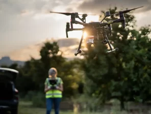
When local officials mulled traditional surveying options, they quickly realized not only would an up-close visual inspection consume countless manhours, it could potentially put both the inspectors and the site in danger. Only a modern technology solution, such as a professional drone, could allow for efficient and high-precision 3D documentation of the ancient architecture, especially when it was spread over an area as large as 1 sq km.
NineTenths decided to use the M300 with a P1 sensor because of its unique Smart Oblique Capture feature. In this mode, the P1’s gimbal rotates and captures five different images from five different angles while flying along its predetermined flight path. Chosen flight parameters further instruct the camera to avoid any unnecessary image capture, such as that at the periphery of the mapping area, ensuring that the drone takes only those photos that are essential to the reconstruction of the region of interest.
Moreover, the DJI M300 allows the Smart Oblique Capture mode to be used in conjunction with another surveying feature that is super helpful: Terrain Follow. The NineTenths team imported a Digital Surface Model (DSM) of the area while planning the mission in DJI Pilot 2 app. This allowed the drone to fly at a consistent altitude of 30m above ground level despite multiple variations in the terrain below.
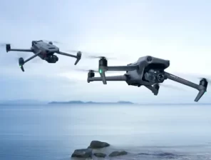
Two M300 drones were flown simultaneously over a period of five days to capture the 450,000 images that were stitched together in the DJI Terra all-in-one mapping software. Once the reconstruction process was complete, Terra was utilized further to generate a point cloud that would become the foundation of AlUla’s digital twin. When Geokali created the final 3D model, it fused this point cloud with another one which was captured using a handheld LiDAR device.
Unparalleled results with time- and cost-savings
According to NineTenths’ estimates, using the DJI drone with a P1 sensor allowed the team to achieve time-savings of at least three weeks, while the surveying cost was practically cut in half.
Even more importantly, the virgin, natural beauty of AlUla remained unscathed because manual inspectors were not required to climb up roofs or rocks. That said, the images from the drone survey also helped to discover important areas that were in need of quick attention in terms of maintenance and repair.
Khalid Alanazi, AlUla Project Manager, NineTenths, says the jewel in Saudi Arabia’s heritage crown looks stunning from every drone survey angle. “For instance, the outward, top view of the rock formations as well as petroglyphs and engravings on them showed interesting details that couldn’t have been captured without the drone surveying the site from a low altitude and with a high-resolution payload such as the Zenmuse P1.”
Khalid adds, “All stakeholders involved in the mission were quite impressed by the M300’s stability and the ease of drawing up the flight mission in the DJI Pilot 2 app. There were times when we switched to manual flight mode to capture certain towers from close proximity, and the remote controller made that process an absolute breeze.”